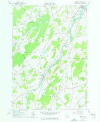
1964 Map of Morley
USGS Topo · Published 1976About this map
The Grass River winds through this mid-1960s landscape, serving as a focal point for the rural communities of St. Lawrence County. The village of Morley sits at a prominent bend in the river, where Trinity Cem and Morley Cem mark the local heritage. To the northeast, the village of Madrid is shown alongside Madrid Springs and the Central Sch, reflecting a settled agricultural and residential corridor. The terrain is characterized by the prominent Morey Ridge and several smaller waterways, including Brandy Brook and Nettle Creek.
Find a feature on this map
56 named features on this map. Tap any name to fly to it.
Don’t see what you’re looking for? This feature index may not catch every label — zoom into the map to look around manually.
Map Details
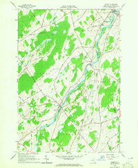
Editions of this 1964 Morley Map
2 editions found
Other maps of this area

1904 · Lisbon
USGS Topo · 1:48,000

1904 · Ogdensburg
USGS Topo · 1:62,500

1905 · Waddington
USGS Topo · 1:62,500

1905 · Ogdensburg
USGS Topo · 1:62,500

1906 · Red Mills
USGS Topo · 1:62,500

1910 · Canton
USGS Topo · 1:62,500

1911 · Canton
USGS Topo · 1:62,500

1942 · Waddington
USGS Topo · 1:24,000

1942 · Chase Mills
USGS Topo · 1:24,000

1943 · Rensselaer Falls
USGS Topo · 1:31,680