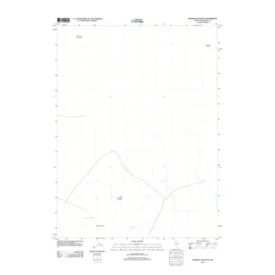
2011 Map of Mormon Dan Butte
USGS Topo · Published 2011About this map
Mormon Dan Butte dominates the northern reaches of this Humboldt County landscape, serving as a prominent landmark in a region defined by arid basins and isolated peaks. This 2011 survey by the U.S. Geological Survey captures the geography of northwestern Nevada where the southern slopes of Blue Mountain meet the high desert floor. The map documents critical water sources in an otherwise dry environment, specifically Barbara Worth Spring and Donnell Spring, which have historically dictated movement and land use across these basins. To the northeast, the presence of the Crescent Dunes suggests the active wind-driven geomorphology of the area, while Blue Mountain Canyon provides a distinct break in the southern relief. The network of light-duty and unpaved roads indicates the area's role as a transit corridor between larger regional hubs, maintaining a character of wide-open, undeveloped terrain.
Find a feature on this map
6 named features on this map. Tap any name to fly to it.
Don’t see what you’re looking for? This feature index may not catch every label — zoom into the map to look around manually.
Map Details
Editions of this 2011 Mormon Dan Butte Map
This is the sole edition of this map. No revisions or reprints were ever made.
Other maps of this area

1882 · Paradise
USGS Topo · 1:250,000

1886 · Disaster
USGS Topo · 1:250,000

1893 · Paradise
USGS Topo · 1:250,000

1893 · Disaster
USGS Topo · 1:250,000

1931 · Lovelock
USGS Topo · 1:250,000

1932 · Sonoma Range
USGS Topo · 1:250,000

1935 · Lovelock
USGS Topo · 1:250,000

1939 · Sonoma Range
USGS Topo · 1:250,000

1954 · Vya
USGS Topo · 1:250,000

1955 · McDermitt
USGS Topo · 1:250,000