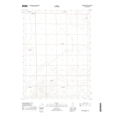
2018 Map of Mormon Dan Butte
USGS Topo · Published 2018About this map
Mormon Dan Butte anchors the northwestern corner of this Humboldt County terrain, overlooking a landscape defined by Great Basin hydrology and topography. The southern portion of the sheet is dominated by the steep rises of Blue Mtn, where Blue Mountain Canyon cuts through the slopes. This high-desert environment relies on isolated water sources such as Barbara Worth Spring and Donnell Spring, which often dictated the movement of early travelers and livestock through the region. To the northeast, the Crescent Dunes illustrate the active geomorphology of the area. The map illustrates a largely unsettled expanse of Nevada, where survival and travel were historically linked to the discovery and preservation of these scarce water features and navigable canyons.
Find a feature on this map
12 named features on this map. Tap any name to fly to it.
Don’t see what you’re looking for? This feature index may not catch every label — zoom into the map to look around manually.
Map Details
Editions of this 2018 Mormon Dan Butte Map
This is the sole edition of this map. No revisions or reprints were ever made.
Other maps of this area

1882 · Paradise
USGS Topo · 1:250,000

1886 · Disaster
USGS Topo · 1:250,000

1893 · Paradise
USGS Topo · 1:250,000

1893 · Disaster
USGS Topo · 1:250,000

1931 · Lovelock
USGS Topo · 1:250,000

1932 · Sonoma Range
USGS Topo · 1:250,000

1935 · Lovelock
USGS Topo · 1:250,000

1939 · Sonoma Range
USGS Topo · 1:250,000

1954 · Vya
USGS Topo · 1:250,000

1955 · McDermitt
USGS Topo · 1:250,000