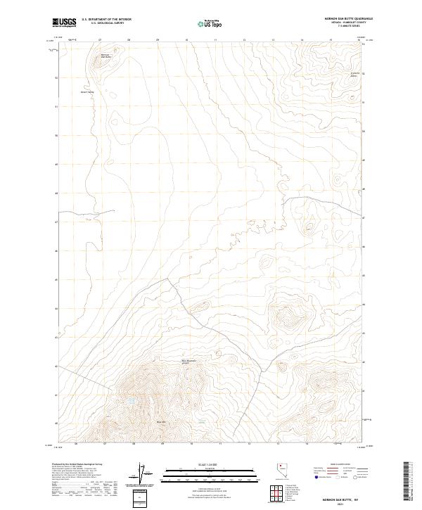
2021 Map of Mormon Dan Butte
USGS Topo · Published 2021About this map
Mormon Dan Butte stands as a prominent landmark in this desert landscape of Humboldt, Nevada. The terrain transitions from the low-lying Desert Valley in the northwest toward the high elevations of Blue Mtn in the south. This modern survey reveals a remote environment where water sources like Barbara Worth Spring and Donnell Spring are critical focal points in an otherwise arid expanse. The northern reaches are characterized by the Crescent Dunes, indicating active aeolian processes near the boundary of t38n r35e. The map illustrates a classic Great Basin topographic profile, where steep drainages like Blue Mountain Canyon cut through the uplifted range. This documentation is particularly useful for understanding contemporary land management and grazing patterns across the township and range divisions of this isolated portion of the Nevada desert.
Find a feature on this map
13 named features on this map. Tap any name to fly to it.
Don’t see what you’re looking for? This feature index may not catch every label — zoom into the map to look around manually.
Map Details
Editions of this 2021 Mormon Dan Butte Map
This is the sole edition of this map. No revisions or reprints were ever made.
Other maps of this area

1882 · Paradise
USGS Topo · 1:250,000

1886 · Disaster
USGS Topo · 1:250,000

1893 · Paradise
USGS Topo · 1:250,000

1893 · Disaster
USGS Topo · 1:250,000

1931 · Lovelock
USGS Topo · 1:250,000

1932 · Sonoma Range
USGS Topo · 1:250,000

1935 · Lovelock
USGS Topo · 1:250,000

1939 · Sonoma Range
USGS Topo · 1:250,000

1954 · Vya
USGS Topo · 1:250,000

1955 · McDermitt
USGS Topo · 1:250,000