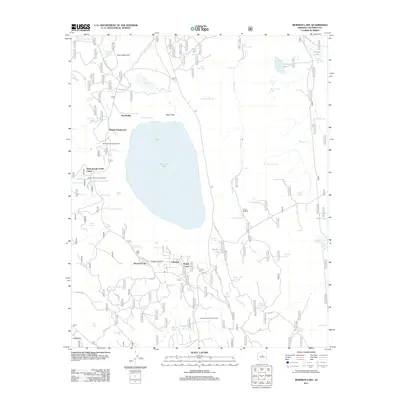
2011 Map of Mormon Lake
USGS Topo · Published 2011About this map
Mormon Lake serves as the focal point of this high-elevation landscape in the Coconino National Forest. The 2011 survey reveals a cluster of seasonal and organizational settlements along the lake's southern and western shores, including Tempe Camp, Lakeview, and the Saint Joseph Youth Camp. The presence of the Mormon Lake Lookout Tower and multiple forest service roads like FS RD 219 and FS RD 125 underscores the area's role as a managed recreational and resource hub.
Find a feature on this map
83 named features on this map. Tap any name to fly to it.
Don’t see what you’re looking for? This feature index may not catch every label — zoom into the map to look around manually.
Map Details
Editions of this 2011 Mormon Lake Map
This is the sole edition of this map. No revisions or reprints were ever made.
Other maps of this area

1886 · San Francisco Mtns
USGS Topo · 1:250,000

1887 · Verde
USGS Topo · 1:250,000

1891 · San Francisco Mtns
USGS Topo · 1:250,000

1892 · Verde
USGS Topo · 1:250,000

1894 · San Francisco Mtns
USGS Topo · 1:250,000

1899 · San Francisco Mtns
USGS Topo · 1:250,000

1908 · Flagstaff
USGS Topo · 1:125,000

1912 · Flagstaff
USGS Topo · 1:125,000

1923 · Camp Verde
USGS Topo · 1:125,000

1932 · Camp Verde
USGS Topo · 1:125,000