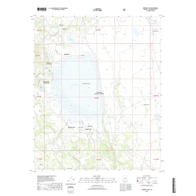
2018 Map of Mormon Lake
USGS Topo · Published 2018About this map
Mormon Lake and its surrounding high-country terrain dominate this portion of the Coconino National Forest. The landscape is defined by the shallow basin of the lake and the neighboring Mormon Lake Valley, which sit beneath the prominent slopes of Mormon Mountain. This area has long served as a recreational and seasonal retreat, evidenced by the presence of Tempe Camp, Saint Joseph Youth Camp, and the Pilgrim Playground near the northwestern shore.
Find a feature on this map
83 named features on this map. Tap any name to fly to it.
Don’t see what you’re looking for? This feature index may not catch every label — zoom into the map to look around manually.
Map Details
Editions of this 2018 Mormon Lake Map
This is the sole edition of this map. No revisions or reprints were ever made.
Other maps of this area

1886 · San Francisco Mtns
USGS Topo · 1:250,000

1887 · Verde
USGS Topo · 1:250,000

1891 · San Francisco Mtns
USGS Topo · 1:250,000

1892 · Verde
USGS Topo · 1:250,000

1894 · San Francisco Mtns
USGS Topo · 1:250,000

1899 · San Francisco Mtns
USGS Topo · 1:250,000

1908 · Flagstaff
USGS Topo · 1:125,000

1912 · Flagstaff
USGS Topo · 1:125,000

1923 · Camp Verde
USGS Topo · 1:125,000

1932 · Camp Verde
USGS Topo · 1:125,000