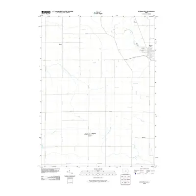
2010 Map of Morning Sun
USGS Topo · Published 2010About this map
Morning Sun serves as the primary hub of this Louisa County landscape, where the town's grid is anchored by the Morning Sun Post Office and two nearby burial grounds, Elmwood Cemetery and Morning Sun Cemetery. The surrounding terrain is defined by a dense network of sectional roads and the meandering paths of several waterways, including Roff Creek and the East Fork Crooked Creek. Further south, the map documents the smaller communities of Yarmouth, home to the Yarmouth Post Office, and the settlement of Roscoe near the banks of Flint Creek. This agricultural region relies on a systematic grid of avenues and streets, such as Mediapolis Rd and Henry-Louisa Ave, which connect isolated farmsteads and rural landmarks like the northern Rice Cemetery and the western outpost of Marsh.
Find a feature on this map
36 named features on this map. Tap any name to fly to it.
Don’t see what you’re looking for? This feature index may not catch every label — zoom into the map to look around manually.
Map Details
Editions of this 2010 Morning Sun Map
This is the sole edition of this map. No revisions or reprints were ever made.
Other maps of this area

1934 · Burlington
USGS Topo · 1:48,000

1940 · Burlington
USGS Topo · 1:62,500

1946 · Wapello
USGS Topo · 1:62,500

1949 · Wapello
USGS Topo · 1:62,500

1958 · Burlington
USGS Topo · 1:250,000

1958 · Davenport
USGS Topo · 1:250,000

1961 · Burlington
USGS Topo · 1:250,000

1961 · Davenport
USGS Topo · 1:250,000

1962 · Davenport
USGS Topo · 1:250,000

1963 · Burlington
USGS Topo · 1:250,000