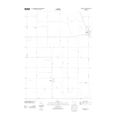
2013 Map of Morning Sun
USGS Topo · Published 2013About this map
Morning Sun serves as the primary municipal center in this section of Iowa, where residential streets like Division St and S Main St converge near the Roff Cr drainage. The landscape is defined by the agricultural grid of Louisa and Des Moines counties, punctuated by smaller rail-aligned or road-junction settlements. To the south, Yarmouth and Roscoe sit amidst a network of small waterways including Cedar Fork Cr and Flint Cr. The map captures the region's character as a productive prairie upland, where the rectilinear road system, including the prominent Highway 78, dictates the flow of commerce and transit. Further west, the hamlet of Marsh and the winding course of E Fork Crooked Cr illustrate the rural geography that has sustained these communities since their founding.
Find a feature on this map
55 named features on this map. Tap any name to fly to it.
Don’t see what you’re looking for? This feature index may not catch every label — zoom into the map to look around manually.
Map Details
Editions of this 2013 Morning Sun Map
This is the sole edition of this map. No revisions or reprints were ever made.
Other maps of this area

1934 · Burlington
USGS Topo · 1:48,000

1940 · Burlington
USGS Topo · 1:62,500

1946 · Wapello
USGS Topo · 1:62,500

1949 · Wapello
USGS Topo · 1:62,500

1958 · Burlington
USGS Topo · 1:250,000

1958 · Davenport
USGS Topo · 1:250,000

1961 · Burlington
USGS Topo · 1:250,000

1961 · Davenport
USGS Topo · 1:250,000

1962 · Davenport
USGS Topo · 1:250,000

1963 · Burlington
USGS Topo · 1:250,000