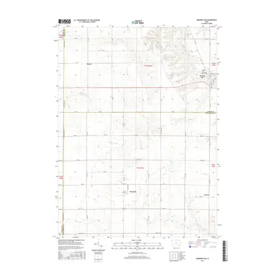
2015 Map of Morning Sun
USGS Topo · Published 2015About this map
The town of Morning Sun serves as a primary hub in this corner of Iowa, where the convergence of Louisa, Henry, and Des Moines counties shapes the local geography. The landscape is defined by the headwaters and drainage of several significant waterways, including Big Cr, Flint Cr, and Cedar Fork Cr, which carve through the agricultural tableland. Smaller settlements like Marsh, Yarmouth, and Roscoe are linked by a grid of county roads, such as Co Rd X27 and Co Rd H28, reflecting the enduring rural infrastructure of the region.
Find a feature on this map
50 named features on this map. Tap any name to fly to it.
Don’t see what you’re looking for? This feature index may not catch every label — zoom into the map to look around manually.
Map Details
Editions of this 2015 Morning Sun Map
This is the sole edition of this map. No revisions or reprints were ever made.
Other maps of this area

1934 · Burlington
USGS Topo · 1:48,000

1940 · Burlington
USGS Topo · 1:62,500

1946 · Wapello
USGS Topo · 1:62,500

1949 · Wapello
USGS Topo · 1:62,500

1958 · Burlington
USGS Topo · 1:250,000

1958 · Davenport
USGS Topo · 1:250,000

1961 · Burlington
USGS Topo · 1:250,000

1961 · Davenport
USGS Topo · 1:250,000

1962 · Davenport
USGS Topo · 1:250,000

1963 · Burlington
USGS Topo · 1:250,000