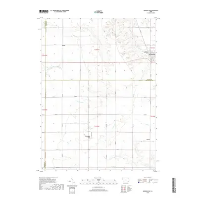
2018 Map of Morning Sun
USGS Topo · Published 2018About this map
Morning Sun serves as the primary hub in this corner of Louisa County, where its residential grid is anchored by Elmwood Cem and the Morning Sun Cem. The landscape transitions from the developed streets of town into a network of agricultural sections defined by long, straight section-line roads like 260th ST and Co RD x37. To the southwest, the small settlement of Yarmouth sits near the intersection of Co RD x31 and 240th ST, while Roscoe and Marsh mark quieter points on the rural periphery. The terrain is deeply incised by a drainage system including the E Fork Crooked Cr and the meandering Cedar Fork Cr, which influence the placement of regional boundaries where Henry, Louisa, and Des Moines counties meet. Genealogists and local historians can use these clear demarcations and named cemeteries to pinpoint family landholdings across these three adjoining counties.
Find a feature on this map
52 named features on this map. Tap any name to fly to it.
Don’t see what you’re looking for? This feature index may not catch every label — zoom into the map to look around manually.
Map Details
Editions of this 2018 Morning Sun Map
This is the sole edition of this map. No revisions or reprints were ever made.
Other maps of this area

1934 · Burlington
USGS Topo · 1:48,000

1940 · Burlington
USGS Topo · 1:62,500

1946 · Wapello
USGS Topo · 1:62,500

1949 · Wapello
USGS Topo · 1:62,500

1958 · Burlington
USGS Topo · 1:250,000

1958 · Davenport
USGS Topo · 1:250,000

1961 · Burlington
USGS Topo · 1:250,000

1961 · Davenport
USGS Topo · 1:250,000

1962 · Davenport
USGS Topo · 1:250,000

1963 · Burlington
USGS Topo · 1:250,000