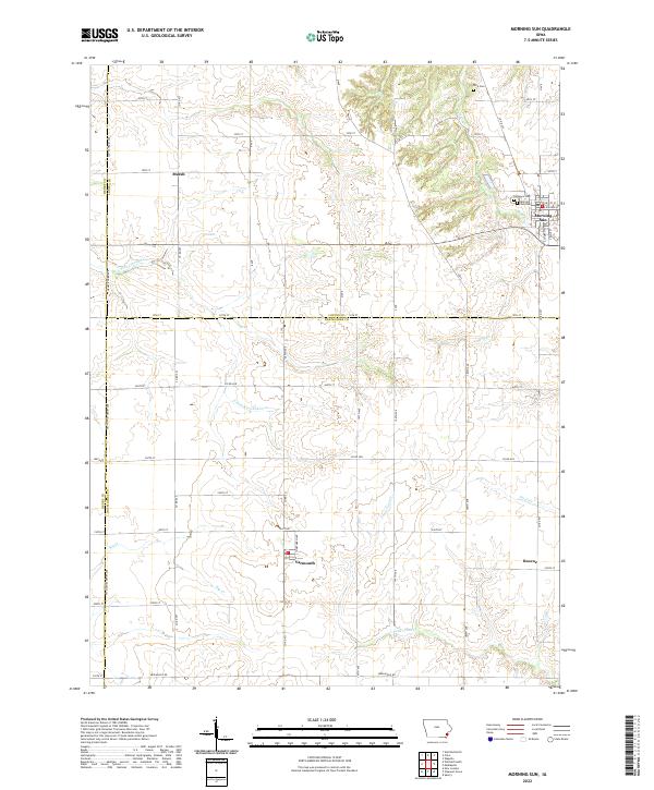
2022 Map of Morning Sun
USGS Topo · Published 2022About this map
Morning Sun sits at the intersection of three counties in southeastern Iowa, serving as a primary point of interest on a landscape defined by its grid-patterned agricultural roads and creek valleys. This survey documents the area's geography at the start of the 2020s, revealing how small rural hubs like Yarmouth, Marsh, and Roscoe persist along the boundaries of Louisa, Des Moines, and Henry counties.
Find a feature on this map
40 named features on this map. Tap any name to fly to it.
Don’t see what you’re looking for? This feature index may not catch every label — zoom into the map to look around manually.
Map Details
Editions of this 2022 Morning Sun Map
This is the sole edition of this map. No revisions or reprints were ever made.
Other maps of this area

1934 · Burlington
USGS Topo · 1:48,000

1940 · Burlington
USGS Topo · 1:62,500

1946 · Wapello
USGS Topo · 1:62,500

1949 · Wapello
USGS Topo · 1:62,500

1958 · Burlington
USGS Topo · 1:250,000

1958 · Davenport
USGS Topo · 1:250,000

1961 · Burlington
USGS Topo · 1:250,000

1961 · Davenport
USGS Topo · 1:250,000

1962 · Davenport
USGS Topo · 1:250,000

1963 · Burlington
USGS Topo · 1:250,000