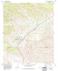
1972 Map of Morongo Valley
USGS Topo · Published 1994About this map
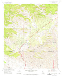
Little Morongo Valley serves as a critical desert corridor in this early 1970s survey, where the Twentynine Palms Highway bisects a landscape defined by seasonal washes and steep canyon walls. The settlement of Morongo Valley is the primary hub, anchored by the Morongo Valley Sch and Covington Park, while the more elevated Little Morongo Heights overlooks the basin from the northeast. The map illustrates a transitional environment where desert ranching at Pierce Ranch and T Cross K Ranch meets modern infrastructure, most notably the subterranean path of the Colorado River Aqueduct and various pipelines. Arid geography is punctuated by vital water sources like Little Morongo Springs and Leopard Spring, highlighting the reliance on natural seeps before the area's further residential expansion. The high peaks of the San Bernardino Mts dominate the southern portion, dropping sharply toward the Coachella Valley floor.
Find a feature on this map
33 named features on this map. Tap any name to fly to it.
Don’t see what you’re looking for? This feature index may not catch every label — zoom into the map to look around manually.
Map Details
Editions of this 1972 Morongo Valley Map
2 editions found
Other maps of this area

1901 · Southern California Sheet No. 1
USGS Topo · 1:250,000

1901 · San Jacinto
USGS Topo · 1:125,000

1902 · San Gorgonio
USGS Topo · 1:125,000

1904 · Southern California Sheet No. 1
USGS Topo · 1:250,000

1940 · Palm Springs
USGS Topo · 1:62,500

1941 · Edom
USGS Topo · 1:62,500

1944 · Palm Springs
USGS Topo · 1:62,500

1944 · Edom
USGS Topo · 1:62,500

1947 · Santa Ana
USGS Topo · 1:250,000

1949 · Santa Ana
USGS Topo · 1:250,000
Featured Places
- Little Morongo Heights, CA
- Palm Wells, CA
- Morongo Valley, CA
- San Bernardino County, CA
- Riverside County, CA