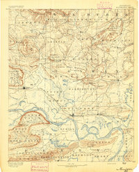
1892 Map of Morrillton
USGS Topo · Published 1892About this map
The Arkansas River corridor serves as the primary artery of travel and commerce on this 1889 survey, where the Little Rock & Fort Smith RR connects emerging river towns like Morrillton, Atkins, and Plummerville. The reliance on river transit is evident through the many historic crossings, including Galla Rock Fy., Morgan's Fy., and Sevier Fy., alongside landing points like Stouts Ldg. at Stouts Point.
Find a feature on this map
105 named features on this map. Tap any name to fly to it.
Don’t see what you’re looking for? This feature index may not catch every label — zoom into the map to look around manually.
Map Details
Editions of this 1892 Morrillton Map
This is the sole edition of this map. No revisions or reprints were ever made.
Other maps of this area
1879 · Washington
USGS Topo · 1:62,500
1887 · Smyrna
USGS Topo · 1:62,500
1888 · Dardanelle #4
USGS Topo · 1:62,500
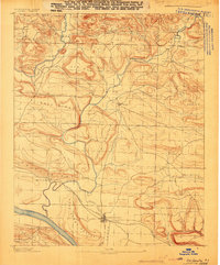
1888 · Dardanelle #1
USGS Topo · 1:62,500
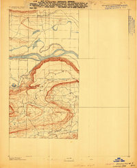
1889 · Morrilton No. 3
USGS Topo · 1:62,500
1889 · Treat
USGS Topo · 1:62,500
1889 · Marshall #3
USGS Topo · 1:62,500
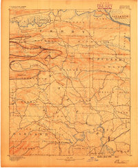
1890 · Benton
USGS Topo · 1:125,000
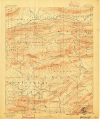
1890 · Hot Springs
USGS Topo · 1:125,000

1890 · Dardanelle
USGS Topo · 1:125,000