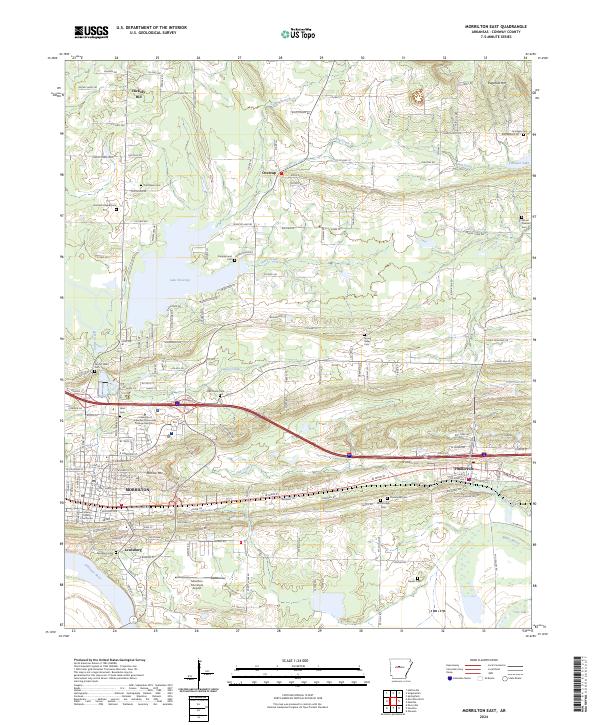
2024 Map of Morrilton East
USGS Topo · Published 2024About this map
Morrilton and the historic riverfront site of Lewisburg anchor this survey along the northern bank of the Arkansas River. This modern era document illustrates the transition from the river-bottom lands to the elevated terrain of Burrow Mtn and Ragsdale Mtn. Significant institutional footprints are visible at the University of Arkansas Community College Morrilton and the Conway County Courthouse, reflecting the town's role as a regional center. The Union Pacific RR corridors and Morrilton Municipal Airport highlight the area's continued reliance on a diverse transportation network.
Find a feature on this map
99 named features on this map. Tap any name to fly to it.
Don’t see what you’re looking for? This feature index may not catch every label — zoom into the map to look around manually.
Map Details
Editions of this 2024 Morrilton East Map
This is the sole edition of this map. No revisions or reprints were ever made.
Other maps of this area

1889 · Morrilton No. 3
USGS Topo · 1:62,500

1892 · Morrillton
USGS Topo · 1:125,000

1894 · Morrillton
USGS Topo · 1:125,000

1956 · Russellville
USGS Topo · 1:250,000

1961 · Menifee
USGS Topo · 1:24,000

1961 · Perryville
USGS Topo · 1:24,000

1961 · Morrilton East
USGS Topo · 1:24,000

1961 · Morrilton West
USGS Topo · 1:24,000

1961 · Houston
USGS Topo · 1:24,000

1961 · Gleason
USGS Topo · 1:24,000