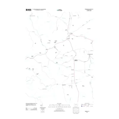
2013 Map of Morris
USGS Topo · Published 2013About this map
Morris and Hoytville serve as the primary hubs in this central Tioga County landscape, where the confluence of Wilson Cr and Babb Cr dictates the local geography. The area's settlement pattern follows the narrow valley floors, with roads like Back St and Morris Cir providing structure to these small communities. Historically significant land markers such as Tannery Hill and McCluskey Hollow suggest the region’s earlier industrial ties, while the higher elevations are marked by the Crawford Fire Tower and the Ski Sawmill Ski Area near Oregon Hill. The map detail extends to smaller hamlets and named crossings like Doane and Lorenton, alongside numerous family-named terrain features such as Brooks Hill and Blacks Hill, illustrating a deeply personal connection to the land that persists into the modern era.
Find a feature on this map
88 named features on this map. Tap any name to fly to it.
Don’t see what you’re looking for? This feature index may not catch every label — zoom into the map to look around manually.
Map Details
Editions of this 2013 Morris Map
This is the sole edition of this map. No revisions or reprints were ever made.
Other maps of this area

1921 · Trout Run
USGS Topo · 1:62,500

1923 · Trout Run
USGS Topo · 1:62,500

1925 · Blossburg
USGS Topo · 1:62,500

1927 · Blossburg
USGS Topo · 1:62,500

1937 · Waterville
USGS Topo · 1:48,000

1943 · Waterville
USGS Topo · 1:62,500

1944 · Blossburg
USGS Topo · 1:62,500

1944 · Trout Run
USGS Topo · 1:62,500

1946 · Tiadaghton
USGS Topo · 1:24,000

1946 · Antrim
USGS Topo · 1:62,500
Featured Places
- Morris Township, PA
- Duncan Township, PA
- Pine Township, PA
- Lorenton, Morris Township
- Three Springs Run, Morris Township