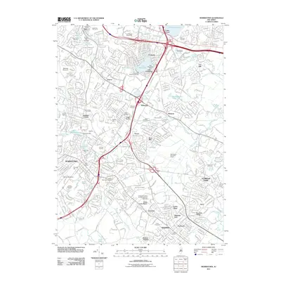
2011 Map of Morristown
USGS Topo · Published 2011About this map
Morristown and Parsippany anchor this Morris County landscape, where the Whippany River and its various tributaries have shaped both the geography and the industrial legacy of the region. The map reveals a densely developed suburban corridor defined by its transportation and institutional landmarks, from the Morris Street Station to the Morristown Municipal Airport. Educational and healthcare hubs are prominent, featuring the College at Florham Fairleigh Dickinson University, Drew University, and the sprawling Morristown Memorial Hospital complex.
Find a feature on this map
78 named features on this map. Tap any name to fly to it.
Don’t see what you’re looking for? This feature index may not catch every label — zoom into the map to look around manually.
Map Details
Editions of this 2011 Morristown Map
This is the sole edition of this map. No revisions or reprints were ever made.
Other maps of this area

1888 · Plainfield
USGS Topo · 1:62,500

1888 · Morristown
USGS Topo · 1:62,500

1888 · Lake Hopatcong
USGS Topo · 1:62,500

1891 · Somerville
USGS Topo · 1:62,500

1893 · Plainfield
USGS Topo · 1:62,500

1893 · Somerville
USGS Topo · 1:62,500

1894 · Morristown
USGS Topo · 1:62,500

1894 · Lake Hopatcong
USGS Topo · 1:62,500

1898 · Lake Hopatcong
USGS Topo · 1:62,500

1898 · Morristown
USGS Topo · 1:62,500