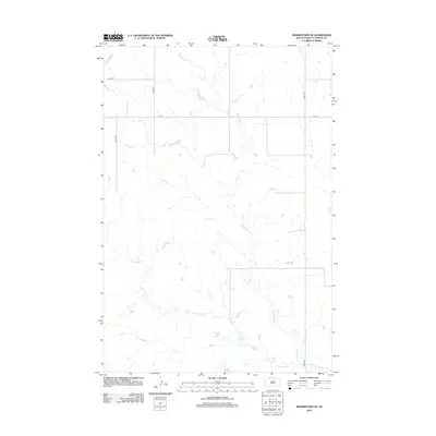
2012 Map of Morristown SE
USGS Topo · Published 2012About this map
Red Willow Cr and Dirt Lodge Cr meander through this section of Corson County, shaping a drainage pattern characteristic of the Great Plains landscape in South Dakota. This 2012 survey documents the essential infrastructure of a predominantly rural and agricultural region, where the section-line road grid remains the primary framework for movement. Major corridors like 230th Ave and Cord-6 provide the necessary links between isolated farmsteads and larger regional hubs. The geography is defined by subtle elevation changes and the delicate hydrology of these intermittent prairie streams, which dictate the placement of local routes such as 107th St. For those researching land use or genealogy in the Rock Creek District, the map identifies the precise intersections of long-standing county roads like 225th Ave and 226th Ave that have guided local development for generations.
Find a feature on this map
7 named features on this map. Tap any name to fly to it.
Don’t see what you’re looking for? This feature index may not catch every label — zoom into the map to look around manually.
Map Details
Editions of this 2012 Morristown SE Map
This is the sole edition of this map. No revisions or reprints were ever made.
Other maps of this area

1953 · McIntosh
USGS Topo · 1:250,000

1956 · Cottonwood Creek NE
USGS Topo · 1:24,000

1956 · Black Horse
USGS Topo · 1:24,000

1956 · Cottonwood Creek NW
USGS Topo · 1:24,000

1958 · McIntosh
USGS Topo · 1:250,000

1972 · McIntosh SW
USGS Topo · 1:24,000

1972 · Morristown
USGS Topo · 1:24,000

1972 · Morristown SE
USGS Topo · 1:24,000

1972 · Skull Butte
USGS Topo · 1:24,000

1972 · Watauga
USGS Topo · 1:24,000