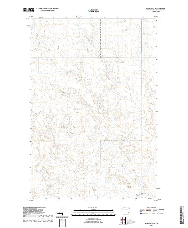
2021 Map of Morristown SE
USGS Topo · Published 2021About this map
The northern plains of Corson County are defined here by a winding drainage network that cuts through open terrain, following the natural paths of Red Willow Cr and Dirt Lodge Cr. This landscape is sparsely populated and primarily organized by the Public Land Survey System, as indicated by the grid of township boundaries like t22n r21e and t21n r20e. The map reflects a modern rural infrastructure where travel is dictated by a handful of established routes, including Co Rd 6 and 230th Ave. Because this survey relies on data from the U.S. Census Bureau and the National Hydrography Dataset, it provides a precise look at the current watercourses and section lines that structure ranching and land use in this part of South Dakota.
Find a feature on this map
9 named features on this map. Tap any name to fly to it.
Don’t see what you’re looking for? This feature index may not catch every label — zoom into the map to look around manually.
Map Details
Editions of this 2021 Morristown SE Map
This is the sole edition of this map. No revisions or reprints were ever made.
Other maps of this area

1953 · McIntosh
USGS Topo · 1:250,000

1956 · Cottonwood Creek NE
USGS Topo · 1:24,000

1956 · Black Horse
USGS Topo · 1:24,000

1956 · Cottonwood Creek NW
USGS Topo · 1:24,000

1958 · McIntosh
USGS Topo · 1:250,000

1972 · McIntosh SW
USGS Topo · 1:24,000

1972 · Morristown
USGS Topo · 1:24,000

1972 · Morristown SE
USGS Topo · 1:24,000

1972 · Skull Butte
USGS Topo · 1:24,000

1972 · Watauga
USGS Topo · 1:24,000