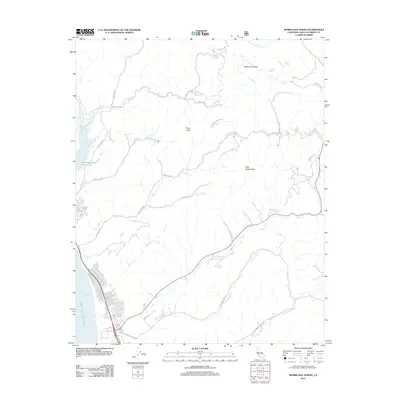
2012 Map of Morro Bay North
USGS Topo · Published 2012About this map
Estero Bay and the northern reaches of Morro Bay define the coastal edge of this Central Coast landscape. In the interior, the topography is dominated by significant elevations like Rusty Peak and Dark Range Peak, which overlook a complex network of canyons and drainage systems. The northern portion of the sheet shows the headwaters of S Fork Santa Rita Cr and Graves Cr, while the southern half is carved by the winding paths of Morro Cr and its tributaries, including Little Morro Cr.
Find a feature on this map
37 named features on this map. Tap any name to fly to it.
Don’t see what you’re looking for? This feature index may not catch every label — zoom into the map to look around manually.
Map Details
Editions of this 2012 Morro Bay North Map
This is the sole edition of this map. No revisions or reprints were ever made.
Other maps of this area

1897 · San Luis Obispo
USGS Topo · 1:62,500

1897 · Cayucos
USGS Topo · 1:62,500

1900 · San Luis
USGS Topo · 1:125,000

1919 · Paso Robles
USGS Topo · 1:62,500

1919 · Adelaida
USGS Topo · 1:62,500

1932 · Adelaida
USGS Topo · 1:62,500

1937 · Cayucos
USGS Topo · 1:62,500

1942 · Adelaida
USGS Topo · 1:62,500

1942 · San Luis Obispo
USGS Topo · 1:62,500

1943 · Paso Robles
USGS Topo · 1:62,500