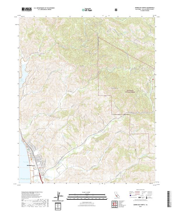
2021 Map of Morro Bay North
USGS Topo · Published 2021About this map
The coastal city of Morro Bay serves as the gateway to this rugged stretch of San Luis Obispo County, where residential streets like Nutmeg Ave and Laurel Ave meet the waters of Estero Bay. Moving inland, the terrain rises sharply toward the summits of Rusty Peak and Dark Range Peak, with much of the eastern landscape protected within the Los Padres National Forest. A complex network of drainage systems, including Toro Cr, Little Morro Cr, and Cottontail Cr, carves through the hills, illustrating the natural watershed that feeds the Pacific coast.
Find a feature on this map
75 named features on this map. Tap any name to fly to it.
Don’t see what you’re looking for? This feature index may not catch every label — zoom into the map to look around manually.
Map Details
Editions of this 2021 Morro Bay North Map
This is the sole edition of this map. No revisions or reprints were ever made.
Other maps of this area

1897 · San Luis Obispo
USGS Topo · 1:62,500

1897 · Cayucos
USGS Topo · 1:62,500

1900 · San Luis
USGS Topo · 1:125,000

1919 · Paso Robles
USGS Topo · 1:62,500

1919 · Adelaida
USGS Topo · 1:62,500

1932 · Adelaida
USGS Topo · 1:62,500

1937 · Cayucos
USGS Topo · 1:62,500

1942 · Adelaida
USGS Topo · 1:62,500

1942 · San Luis Obispo
USGS Topo · 1:62,500

1943 · Paso Robles
USGS Topo · 1:62,500