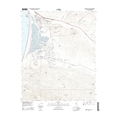
2015 Map of Morro Bay South
USGS Topo · Published 2015About this map
Morro Bay and the coastal communities of Los Osos anchor this contemporary survey of the Central Coast. The landscape is defined by the volcanic peaks of the Irish Hills and the unique estuary environment sheltered by Morro Rock. Residential development in Baywood Park and Cuesta-by-the-Sea is juxtaposed against the prominent terrain of Cerro Cabrillo and Hollister Peak.
Find a feature on this map
81 named features on this map. Tap any name to fly to it.
Don’t see what you’re looking for? This feature index may not catch every label — zoom into the map to look around manually.
Map Details
Editions of this 2015 Morro Bay South Map
This is the sole edition of this map. No revisions or reprints were ever made.
Other maps of this area

1897 · Port Harford
USGS Topo · 1:62,500

1897 · San Luis Obispo
USGS Topo · 1:62,500

1897 · Cayucos
USGS Topo · 1:62,500

1897 · Arroyo Grande
USGS Topo · 1:62,500

1900 · San Luis
USGS Topo · 1:125,000

1937 · Cayucos
USGS Topo · 1:62,500

1941 · Port San Luis
USGS Topo · 1:62,500

1942 · San Luis Obispo
USGS Topo · 1:62,500

1942 · Arroyo Grande
USGS Topo · 1:62,500

1943 · Cayucos
USGS Topo · 1:62,500