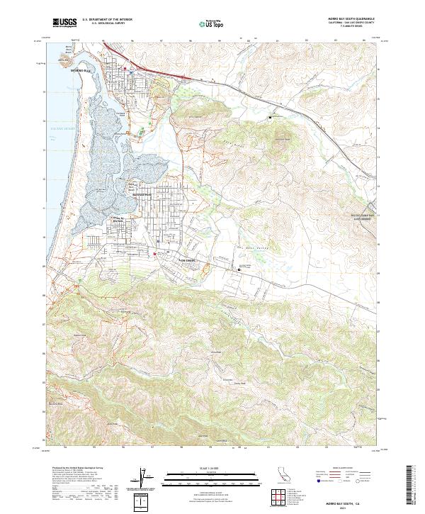
2021 Map of Morro Bay South
USGS Topo · Published 2021About this map
Montana de Oro State Park dominates the southern coastal landscape of this 2021 survey, where the Pacific Ocean meets a network of peaks and canyons. The topographical detail reveals a stark contrast between the low-lying wetlands of Shark Inlet and the sharp elevations of Hollister Peak and Valencia Peak. Coastal settlements such as Baywood Park and Cuesta-by-the-Sea are clearly delineated along the eastern edge of the bay, showing their relation to the surrounding marshlands and the Elfin Forest Trl.
Find a feature on this map
78 named features on this map. Tap any name to fly to it.
Don’t see what you’re looking for? This feature index may not catch every label — zoom into the map to look around manually.
Map Details
Editions of this 2021 Morro Bay South Map
This is the sole edition of this map. No revisions or reprints were ever made.
Other maps of this area

1897 · Port Harford
USGS Topo · 1:62,500

1897 · San Luis Obispo
USGS Topo · 1:62,500

1897 · Cayucos
USGS Topo · 1:62,500

1897 · Arroyo Grande
USGS Topo · 1:62,500

1900 · San Luis
USGS Topo · 1:125,000

1937 · Cayucos
USGS Topo · 1:62,500

1941 · Port San Luis
USGS Topo · 1:62,500

1942 · San Luis Obispo
USGS Topo · 1:62,500

1942 · Arroyo Grande
USGS Topo · 1:62,500

1943 · Cayucos
USGS Topo · 1:62,500