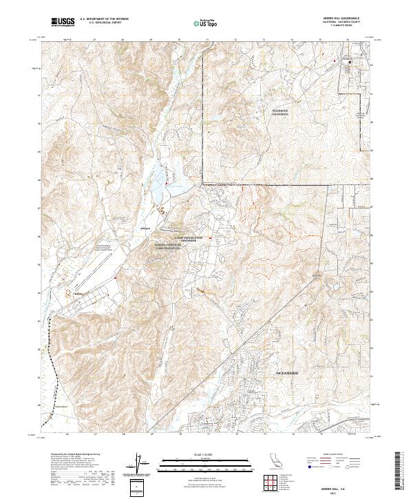
2021 Map of Morro Hill
USGS Topo · Published 2021About this map
Camp Pendleton Mainside and the adjacent military infrastructure define the landscape of northern San Diego County in this 2021 survey. The map details the complex operations area of the Marine Corps Air Station (Munn Field) and various training sectors such as Chappo and Jofegan. Natural drainage patterns are dominated by the Santa Margarita River and the San Luis Rey River, with the terrain rising toward the distinctive peak of Morro Hill. In the northern margins, the outskirts of Fallbrook appear, including the Pioneer Odd Fellows Cem and the Fallbrook Community Airpark. This modern topographic study captures a unique intersection of heavy military utility and coastal foothills, where recreational paths like the Hell Fire Fat Tire Mountain Bike Race/Trl wind through the canyons near Lake O'Neill.
Find a feature on this map
77 named features on this map. Tap any name to fly to it.
Don’t see what you’re looking for? This feature index may not catch every label — zoom into the map to look around manually.
Map Details
Editions of this 2021 Morro Hill Map
This is the sole edition of this map. No revisions or reprints were ever made.
Other maps of this area

1893 · Oceanside
USGS Topo · 1:62,500

1893 · Escondido
USGS Topo · 1:62,500

1898 · Oceanside
USGS Topo · 1:62,500

1901 · Escondido
USGS Topo · 1:62,500

1901 · Oceanside
USGS Topo · 1:62,500

1901 · San Luis Rey
USGS Topo · 1:125,000

1904 · Southern California Sheet No. 2
USGS Topo · 1:250,000

1941 · Margarita Peak
USGS Topo · 1:62,500

1942 · Margarita Peak
USGS Topo · 1:62,500

1942 · Temecula
USGS Topo · 1:62,500
Featured Places
- Oceanside, CA
- Jofegan, Marine Corps Base Camp Pendleton
- Marine Corps Base Camp Pendleton, CA
- San Diego County, CA
- United States