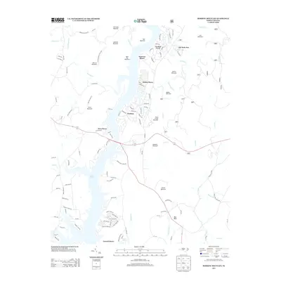
2013 Map of Morrow Mountain
USGS Topo · Published 2013About this map
Lake Tillery serves as the central geographic feature of this area, bordered by a series of planned residential communities and significant recreational land. The western shore is dominated by Morrow Mountain State Park, where the peaks of Morrow Mountain and Hattaway Mountain rise above the waterfront. This 2013 survey illustrates the modern layout of several lakeside developments such as Carolina Forest, Woodrun, and Emerald Shores, which are carved into the wooded terrain surrounding the reservoir.
Find a feature on this map
130 named features on this map. Tap any name to fly to it.
Don’t see what you’re looking for? This feature index may not catch every label — zoom into the map to look around manually.
Map Details
Editions of this 2013 Morrow Mountain Map
This is the sole edition of this map. No revisions or reprints were ever made.
Other maps of this area

1942 · Troy
USGS Topo · 1:125,000

1953 · Raleigh
USGS Topo · 1:250,000

1953 · Charlotte
USGS Topo · 1:250,000

1954 · Charlotte
USGS Topo · 1:250,000

1954 · Raleigh
USGS Topo · 1:250,000

1956 · Mount Gilead East
USGS Topo · 1:24,000

1956 · Mount Gilead West
USGS Topo · 1:24,000

1957 · Albemarle
USGS Topo · 1:62,500

1957 · Troy
USGS Topo · 1:62,500

1960 · Charlotte
USGS Topo · 1:250,000