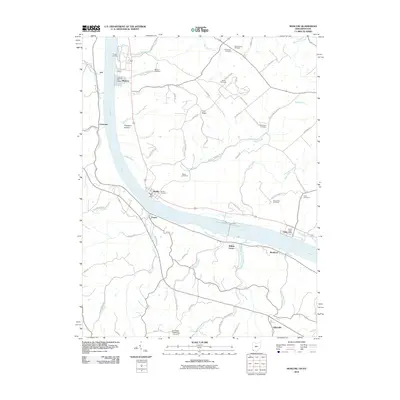
2010 Map of Moscow
USGS Topo · Published 2010About this map
The Ohio River carves a significant sweep through this borderland region, anchoring a string of riverside settlements including Moscow, Neville, and Bradford. This 2010 survey highlights the enduring river-and-road orientation of the landscape, where historic landings like Smith Landing once facilitated local trade. Inland from the water, the terrain rises into prominent features like Fruit Ridge and Eden Ridge, where the network of country roads is dotted with small family and community burial grounds.
Find a feature on this map
76 named features on this map. Tap any name to fly to it.
Don’t see what you’re looking for? This feature index may not catch every label — zoom into the map to look around manually.
Map Details
Editions of this 2010 Moscow Map
This is the sole edition of this map. No revisions or reprints were ever made.
Other maps of this area

1929 · Alexandria
USGS Topo · 1:48,000

1930 · Falmouth
USGS Topo · 1:48,000

1931 · Felicity
USGS Topo · 1:62,500

1936 · Alexandria
USGS Topo · 1:62,500

1936 · Falmouth
USGS Topo · 1:62,500

1952 · Berlin
USGS Topo · 1:24,000

1952 · Brooksville
USGS Topo · 1:24,000

1953 · Laurel
USGS Topo · 1:24,000

1953 · Bethel
USGS Topo · 1:24,000

1953 · Butler
USGS Topo · 1:24,000