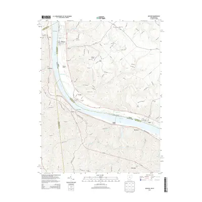
2013 Map of Moscow
USGS Topo · Published 2013About this map
The Ohio River carves a deep valley through the borderlands of Ohio and Kentucky, separating the riverfront villages of Moscow, Neville, and Chilo from their southern neighbors like Foster and Bradford. This landscape is defined by its dramatic relief, with steep ravines such as Opossum Hollow and high ground like Fruit Ridge rising quickly from the water's edge. The settlement pattern reflects the area's river-dependent history, where small hamlets are clustered at the mouths of tributaries like Bear Cr and Maple Cr.
Find a feature on this map
54 named features on this map. Tap any name to fly to it.
Don’t see what you’re looking for? This feature index may not catch every label — zoom into the map to look around manually.
Map Details
Editions of this 2013 Moscow Map
This is the sole edition of this map. No revisions or reprints were ever made.
Other maps of this area

1929 · Alexandria
USGS Topo · 1:48,000

1930 · Falmouth
USGS Topo · 1:48,000

1931 · Felicity
USGS Topo · 1:62,500

1936 · Alexandria
USGS Topo · 1:62,500

1936 · Falmouth
USGS Topo · 1:62,500

1952 · Berlin
USGS Topo · 1:24,000

1952 · Brooksville
USGS Topo · 1:24,000

1953 · Laurel
USGS Topo · 1:24,000

1953 · Bethel
USGS Topo · 1:24,000

1953 · Butler
USGS Topo · 1:24,000