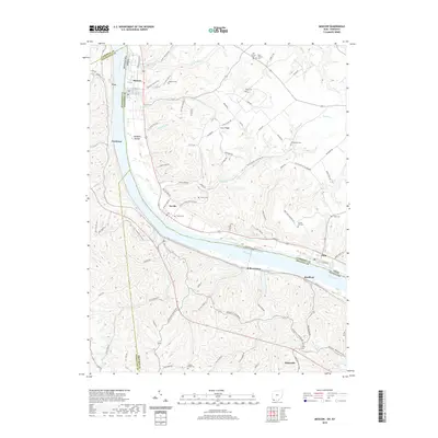
2019 Map of Moscow
USGS Topo · Published 2019About this map
Moscow and Neville serve as primary riverside hubs along the north bank of the Ohio River, where the landscape quickly transitions into a dense network of ridges and hollows. The terrain is deeply incised by numerous waterways such as Little Indian Cr, Maple Cr, and Bear Cr, creating a topography that historically dictated the placement of upland settlements like Fruit Ridge. This 2019 survey documents a high density of rural burial grounds, including McKendree Cem and Vesper Cem, which provide significant points of interest for genealogical research in this border region between Ohio and Kentucky. The transition from the riverfront at Willow Grove to the interior ridges near Johnsville illustrates the enduring settlement patterns of the river valley, where narrow road networks like Neville Penn Schoolhou Rd and Bert Reed Memorial Rd wind through the complex elevation of the Opossum Hollow area.
Find a feature on this map
94 named features on this map. Tap any name to fly to it.
Don’t see what you’re looking for? This feature index may not catch every label — zoom into the map to look around manually.
Map Details
Editions of this 2019 Moscow Map
This is the sole edition of this map. No revisions or reprints were ever made.
Other maps of this area

1929 · Alexandria
USGS Topo · 1:48,000

1930 · Falmouth
USGS Topo · 1:48,000

1931 · Felicity
USGS Topo · 1:62,500

1936 · Alexandria
USGS Topo · 1:62,500

1936 · Falmouth
USGS Topo · 1:62,500

1952 · Berlin
USGS Topo · 1:24,000

1952 · Brooksville
USGS Topo · 1:24,000

1953 · Laurel
USGS Topo · 1:24,000

1953 · Bethel
USGS Topo · 1:24,000

1953 · Butler
USGS Topo · 1:24,000