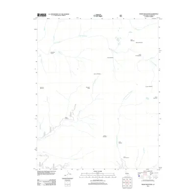
2012 Map of Moses Mountain
USGS Topo · Published 2012About this map
Moses Mountain and Dennison Mountain dominate this high-elevation landscape in the southern Sierra Nevada. The terrain is defined by a series of meadows and high-country drainages, with the S Fork Kaweah River cutting across the northern portion of the sheet and the N Fork Tule River and N Fork Middle Fork Tule River drawing water from the southern slopes. Notable landmarks include the Hockett Lakes and the seasonally occupied Hidden Falls Campground near Pine Cr.
Find a feature on this map
36 named features on this map. Tap any name to fly to it.
Don’t see what you’re looking for? This feature index may not catch every label — zoom into the map to look around manually.
Map Details
Editions of this 2012 Moses Mountain Map
This is the sole edition of this map. No revisions or reprints were ever made.
Other maps of this area

1904 · Kaweah
USGS Topo · 1:125,000

1909 · Kaweah
USGS Topo · 1:125,000

1937 · Kaweah
USGS Topo · 1:125,000

1948 · Fresno
USGS Topo · 1:250,000

1955 · Fresno
USGS Topo · 1:250,000

1956 · Fresno
USGS Topo · 1:250,000

1956 · Mineral King
USGS Topo · 1:62,500
1956 · Camp Nelson
USGS Topo · 1:62,500
1957 · Kaweah
USGS Topo · 1:62,500
1957 · Springville
USGS Topo · 1:24,000