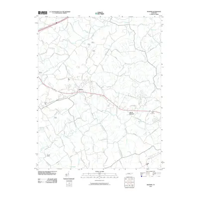
2010 Map of Mosheim
USGS Topo · Published 2010About this map
Mosheim sits at the center of this Greene County landscape, where the valley floor is defined by a dense network of country roads and creek drainage systems. The area's agricultural and industrial character is evident in the presence of mining operations like Hartman Mine Number Two and various mineral locations such as Tipton Prospect, Brown Prospect, and Colvard Prospect. Local history is anchored by the Midway Post Office and several family burial grounds, including Hawkins Cemetery and Susong Cemetery.
Find a feature on this map
93 named features on this map. Tap any name to fly to it.
Don’t see what you’re looking for? This feature index may not catch every label — zoom into the map to look around manually.
Map Details
Editions of this 2010 Mosheim Map
This is the sole edition of this map. No revisions or reprints were ever made.
Other maps of this area

1883 · Morristown
USGS Topo · 1:125,000

1892 · Greeneville
USGS Topo · 1:125,000

1893 · Morristown
USGS Topo · 1:125,000

1895 · Morristown
USGS Topo · 1:125,000

1896 · Greeneville
USGS Topo · 1:125,000

1904 · Greeneville
USGS Topo · 1:125,000

1935 · Surgoinsville
USGS Topo · 1:48,000

1935 · Baileyton
USGS Topo · 1:24,000

1935 · Rogersville
USGS Topo · 1:48,000

1935 · Parrottsville
USGS Topo · 1:24,000