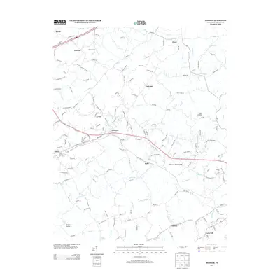
2013 Map of Mosheim
USGS Topo · Published 2013About this map
Mosheim serves as a central hub in this Tennessee landscape, where the local economy is defined by a mix of agricultural heritage and modern transit. The presence of the Rader and Rader Dairy Farm near Rader and the small-scale aviation at Flaglor Airport illustrates a transition between traditional land use and contemporary infrastructure. Waterways such as Lick Cr and Little Chucky Cr carve through the terrain, historically influencing the placement of settlements like Hull Mill and Mount Pleasant.
Find a feature on this map
172 named features on this map. Tap any name to fly to it.
Don’t see what you’re looking for? This feature index may not catch every label — zoom into the map to look around manually.
Map Details
Editions of this 2013 Mosheim Map
This is the sole edition of this map. No revisions or reprints were ever made.
Other maps of this area

1883 · Morristown
USGS Topo · 1:125,000

1892 · Greeneville
USGS Topo · 1:125,000

1893 · Morristown
USGS Topo · 1:125,000

1895 · Morristown
USGS Topo · 1:125,000

1896 · Greeneville
USGS Topo · 1:125,000

1904 · Greeneville
USGS Topo · 1:125,000

1935 · Surgoinsville
USGS Topo · 1:48,000

1935 · Baileyton
USGS Topo · 1:24,000

1935 · Rogersville
USGS Topo · 1:48,000

1935 · Parrottsville
USGS Topo · 1:24,000