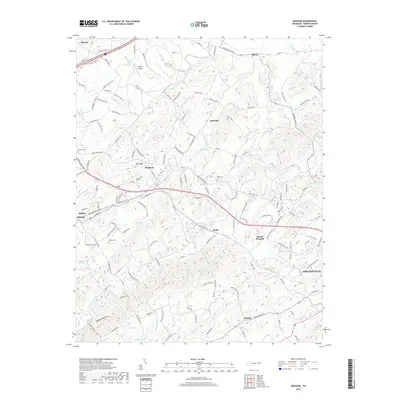
2019 Map of Mosheim
USGS Topo · Published 2019About this map
Mosheim and the surrounding rural communities of Greene County are defined by a complex network of ridgelines and watercourses, most notably Big Ridge and the winding path of Lick Creek. This landscape is punctuated by several small, established settlements like Albany, Hull Mill, and Rader, which are connected by a dense web of local roads such as Black Rd and Holland Rd. The presence of the Norfolk Southern railroad line cutting through the center of the terrain highlights the historical importance of the rail corridor in moving goods and people through the valley between Mosheim and Midway. Genealogists and local historians can find specific points of interest in the Hawkins Cem and Susong Cem, while landmarks like the Flaglor Airport provide modern waypoints. The southern portion of the map transitions into the drainage basin of Little Chucky Creek, where names like Dulaney and the outskirts of Greeneville begin to appear.
Find a feature on this map
169 named features on this map. Tap any name to fly to it.
Don’t see what you’re looking for? This feature index may not catch every label — zoom into the map to look around manually.
Map Details
Editions of this 2019 Mosheim Map
This is the sole edition of this map. No revisions or reprints were ever made.
Other maps of this area

1883 · Morristown
USGS Topo · 1:125,000

1892 · Greeneville
USGS Topo · 1:125,000

1893 · Morristown
USGS Topo · 1:125,000

1895 · Morristown
USGS Topo · 1:125,000

1896 · Greeneville
USGS Topo · 1:125,000

1904 · Greeneville
USGS Topo · 1:125,000

1935 · Surgoinsville
USGS Topo · 1:48,000

1935 · Baileyton
USGS Topo · 1:24,000

1935 · Rogersville
USGS Topo · 1:48,000

1935 · Parrottsville
USGS Topo · 1:24,000