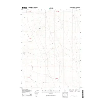
2013 Map of Mosquito Lake Butte
USGS Topo · Published 2013About this map
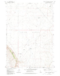
Mosquito Lake Butte and its volcanic neighbors define the high plateau of Owyhee County in the early twenty-first century. This landscape is characterized by its isolation and the systematic grid of the Public Land Survey System, which divides the open range into townships like t14s r9e and t14s r10e. Historical routes cut through the high-elevation terrain, most notably Post Office Rd and Rock Corral RD, which suggest a long-standing network of ranching and communication across the desert. Water is a scarce and vital element here, represented by the ephemeral course of Poison Creek as it winds between Middle Butte and Burnt Butte. The map serves as a detailed record of land management in one of Idaho's most sparsely populated regions, where the placement of tracks such as Three Creek Rd and Salls Rd remains essential for navigating the high desert environment.
Find a feature on this map
14 named features on this map. Tap any name to fly to it.
Don’t see what you’re looking for? This feature index may not catch every label — zoom into the map to look around manually.
Map Details
Editions of this 2013 Mosquito Lake Butte Map
This is the sole edition of this map. No revisions or reprints were ever made.
Other maps of this area

1955 · Twin Falls
USGS Topo · 1:250,000

1958 · Twin Falls
USGS Topo · 1:250,000
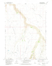
1979 · Dishpan
USGS Topo · 1:24,000

1979 · Salls Crossing
USGS Topo · 1:24,000

1979 · Clover Butte South
USGS Topo · 1:24,000

1979 · Mosquito Lake Butte
USGS Topo · 1:24,000
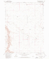
1979 · Poison Butte
USGS Topo · 1:24,000
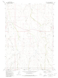
1979 · Three Creek
USGS Topo · 1:24,000
1979 · Murphy Hot Springs
USGS Topo · 1:24,000

1979 · Coonskin Butte
USGS Topo · 1:24,000