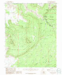
1987 Map of Moss Back Butte
USGS Topo · Published 1987About this map
Natural Bridges National Monument dominates the northeastern section of this San Juan County survey, showcasing the dramatic erosional spans of Sipapu Bridge, Kachina Bridge, and Owachomo Bridge. These massive geologic formations are situated within a complex system of drainages, including White Canyon, Armstrong Canyon, and To-ko-chi Canyon. Further south, the Emigrant Trail traverses the landscape near the Dripping Step Point, marking a path through the sandstone terrain used by early travelers.
Find a feature on this map
32 named features on this map. Tap any name to fly to it.
Don’t see what you’re looking for? This feature index may not catch every label — zoom into the map to look around manually.
Map Details
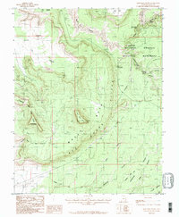
Editions of this 1987 Moss Back Butte Map
2 editions found
Other maps of this area

1886 · Henry Mountains
USGS Topo · 1:250,000

1886 · Abajo
USGS Topo · 1:250,000

1892 · Abajo
USGS Topo · 1:250,000

1892 · Henry Mountains
USGS Topo · 1:250,000

1893 · Abajo
USGS Topo · 1:250,000

1935 · Elk Ridge
USGS Topo · 1:96,000

1940 · Elk Ridge
USGS Topo · 1:125,000

1952 · Natural Bridges
USGS Topo · 1:62,500

1954 · White Canyon 4 NE
USGS Topo · 1:24,000

1954 · White Canyon 4 SE
USGS Topo · 1:24,000