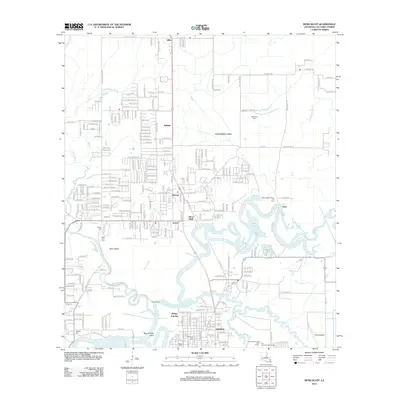
2012 Map of Moss Bluff
USGS Topo · Published 2012About this map
The Calcasieu River and its intricate network of bayous and gullies define the landscape of this region north of Lake Charles. The settlement of Moss Bluff serves as a central hub, surrounded by smaller communities such as Belfield, Ararat, and Newton. This geography is shaped by the water, where the W Fork Calcasieu River meets the main channel near Bear Island, creating a complex series of water bodies including Burnett Bay, Alligator Bay, and Moss Bluff Bay.
Find a feature on this map
144 named features on this map. Tap any name to fly to it.
Don’t see what you’re looking for? This feature index may not catch every label — zoom into the map to look around manually.
Map Details
Editions of this 2012 Moss Bluff Map
This is the sole edition of this map. No revisions or reprints were ever made.
Other maps of this area

1932 · Lake Charles NE
USGS Topo · 1:31,680

1932 · Lake Charles NW
USGS Topo · 1:31,680

1935 · Buhler
USGS Topo · 1:31,680

1935 · Moss Bluff
USGS Topo · 1:31,680

1935 · Gordon
USGS Topo · 1:31,680

1935 · Gaytine
USGS Topo · 1:31,680

1942 · Lake Charles
USGS Topo · 1:62,500

1947 · Gaytine
USGS Topo · 1:31,680

1947 · Moss Bluff
USGS Topo · 1:31,680

1947 · Hecker
USGS Topo · 1:31,680