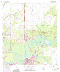
2024 Map of Moss Bluff
USGS Topo · Published 2024About this map
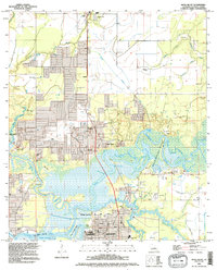
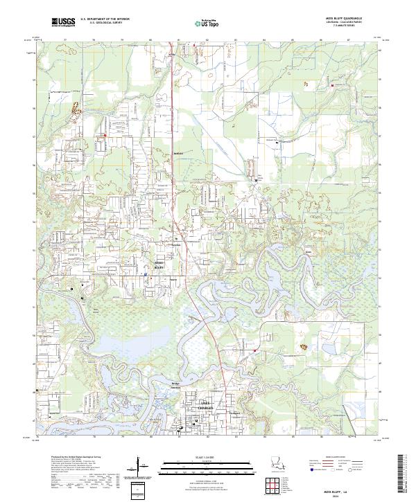
Moss Bluff and the surrounding Calcasieu Parish landscape are defined by the intricate waterways of the Calcasieu River and the West Fork Calcasieu River. This map reveals a complex network of bays and gullies, including Burnett Bay, Old Town Bay, and Bird Island Bay, which illustrate the low-lying, marshy character of the region north of Lake Charles. The settlement pattern follows these watercourses and major thoroughfares, with established communities like Gillis, Newton, and Goosport anchoring the map.
Find a feature on this map
118 named features on this map. Tap any name to fly to it.
Don’t see what you’re looking for? This feature index may not catch every label — zoom into the map to look around manually.
Map Details
Editions of this 2024 Moss Bluff Map
This is the sole edition of this map. No revisions or reprints were ever made.
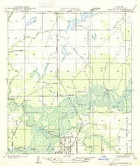
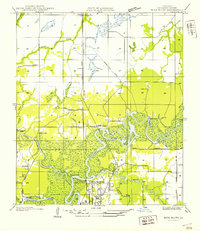
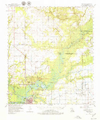
Historical Maps of Moss Bluff Through Time
6 maps found