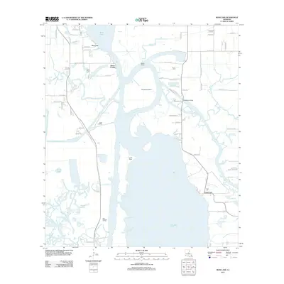
2012 Map of Moss Lake
USGS Topo · Published 2012About this map
Calcasieu River hydrology dominates this coastal Louisiana landscape, where the main channel weaves around Choupique Island and creates distinctive features like Devils Elbow and Cutoff Point. This 2012 survey illustrates the vital water-based infrastructure of Calcasieu Parish, featuring several points of transit such as the Ellender Ferry, Black Bayou Ferry, and the Black Bayou Bridge. The map serves as a detailed record of the industrial and local heritage of the region, specifically marking the East Hackberry Oil Field and the small settlement at Burton Landing.
Find a feature on this map
73 named features on this map. Tap any name to fly to it.
Don’t see what you’re looking for? This feature index may not catch every label — zoom into the map to look around manually.
Map Details
Editions of this 2012 Moss Lake Map
This is the sole edition of this map. No revisions or reprints were ever made.
Other maps of this area

1932 · Moss Lake
USGS Topo · 1:31,680

1932 · Lake Charles NW
USGS Topo · 1:31,680

1932 · Lake Charles SW
USGS Topo · 1:31,680

1934 · Sweet Lake
USGS Topo · 1:24,000

1934 · Browns Lake
USGS Topo · 1:24,000

1935 · Sweet Lake
USGS Topo · 1:31,680

1935 · Hackberry
USGS Topo · 1:31,680

1935 · Browns Lake
USGS Topo · 1:31,680

1942 · Lake Charles
USGS Topo · 1:62,500

1946 · Moss Lake
USGS Topo · 1:31,680