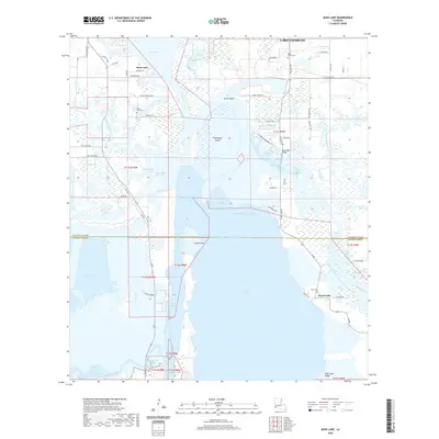
2020 Map of Moss Lake
USGS Topo · Published 2020About this map
The Calcasieu River and its intricate network of bayous define this coastal Louisiana landscape where Calcasieu Parish meets Cameron Parish. In this low-lying region, the modern industrial importance of the Calcasieu Ship Channel and the Intracoastal Waterway contrasts with long-established local landmarks. Small settlements like Moss Lake and Grand Lake serve as anchors for the community, while several burial grounds, including Dutch Cove Cem, Black Bayou Cem, and Pujol Cem, provide important points of reference for genealogical research.
Find a feature on this map
67 named features on this map. Tap any name to fly to it.
Don’t see what you’re looking for? This feature index may not catch every label — zoom into the map to look around manually.
Map Details
Editions of this 2020 Moss Lake Map
This is the sole edition of this map. No revisions or reprints were ever made.
Other maps of this area

1932 · Moss Lake
USGS Topo · 1:31,680

1932 · Lake Charles NW
USGS Topo · 1:31,680

1932 · Lake Charles SW
USGS Topo · 1:31,680

1934 · Sweet Lake
USGS Topo · 1:24,000

1934 · Browns Lake
USGS Topo · 1:24,000

1935 · Sweet Lake
USGS Topo · 1:31,680

1935 · Hackberry
USGS Topo · 1:31,680

1935 · Browns Lake
USGS Topo · 1:31,680

1942 · Lake Charles
USGS Topo · 1:62,500

1946 · Moss Lake
USGS Topo · 1:31,680