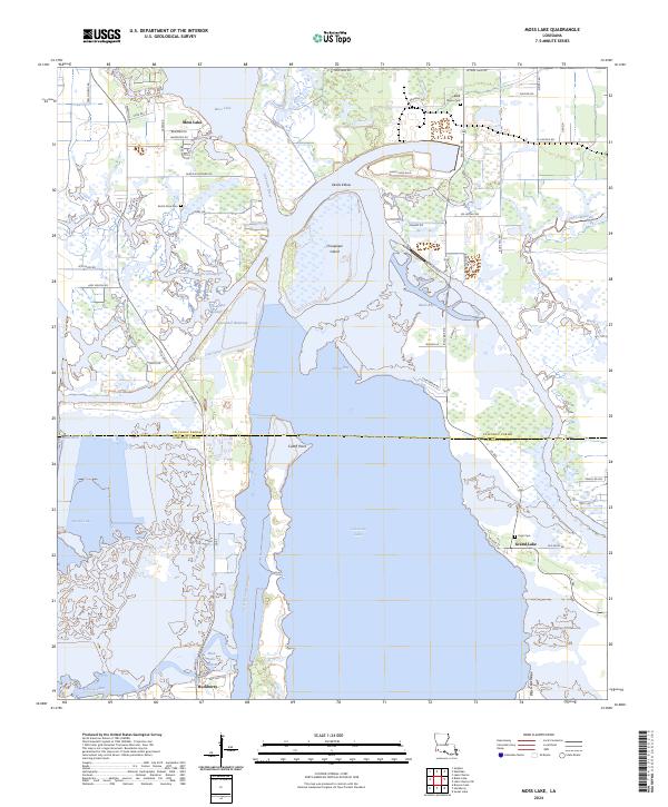
2024 Map of Moss Lake
USGS Topo · Published 2024About this map
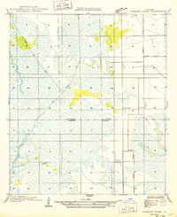
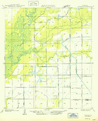
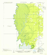
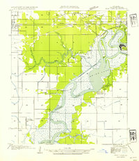
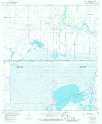
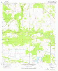
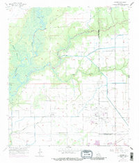
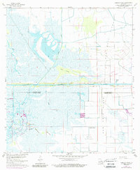
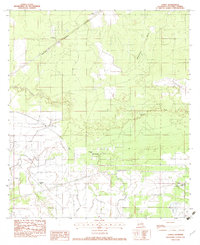
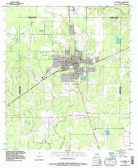
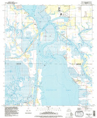
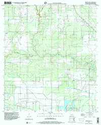
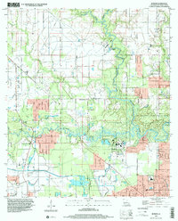
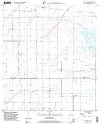
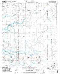
Calcasieu Lake and the intricate coastal wetlands south of Lake Charles define this landscape where the Calcasieu Parish and Cameron Parish lines meet. The area is dominated by critical navigation and drainage infrastructure, including the Calcasieu Ship Channel and the Intracoastal Waterway, which cut through the low-lying marshlands and bisect older natural features like Choupique Island. Small settlements and family clusters are scattered along the higher ground and major roadways, notably around the community of Hackberry and the shores of Moss Lake. For genealogists, the map preserves the location of several local burial grounds such as Dutch Cove Cem, Black Bayou Cem, and Pujol Cem. The land-water interface is further characterized by numerous bayous and specialized channels like the Choupique Cutoff and the Old Canal, illustrating how the region has been engineered for maritime commerce and industrial access over several decades.
Find a feature on this map
69 named features on this map. Tap any name to fly to it.
Don’t see what you’re looking for? This feature index may not catch every label — zoom into the map to look around manually.
Map Details
Editions of this 2024 Moss Lake Map
This is the sole edition of this map. No revisions or reprints were ever made.
Historical Maps of Moss Lake Through Time
46 maps found

1932 Lake Charles NE
Calcasieu Parish, LA

1932 Lake Charles NW
Calcasieu Parish, LA

1932 Lake Charles SE
Calcasieu Parish, LA

1932 Lake Charles SW
Calcasieu Parish, LA

1932 Moss Lake
Calcasieu Parish, LA

1935 Buhler
Calcasieu Parish, LA

1946 Moss Lake
Calcasieu Parish, LA

1947 Hecker
Calcasieu Parish, LA
1947 Lunita
Calcasieu Parish, LA

1947 Sulphur Mines
Calcasieu Parish, LA
1947 Toomey
Calcasieu Parish, LA

1947 West Lake
Calcasieu Parish, LA
1949 Black Lake
Calcasieu Parish, LA
1949 Cameron Farms
Calcasieu Parish, LA
1950 Hecker
Calcasieu Parish, LA
1954 Toomey
Calcasieu Parish, LA
1954 West Lake
Calcasieu Parish, LA
1955 Black Lake
Calcasieu Parish, LA
1955 Lake Charles SE
Calcasieu Parish, LA
1955 Lake Charles SW
Calcasieu Parish, LA
1955 Moss Lake
Calcasieu Parish, LA
1956 Brimstone
Calcasieu Parish, LA
1956 Buhler
Calcasieu Parish, LA
1956 De Quincy
Calcasieu Parish, LA
1956 De Quincy
Calcasieu Parish, LA
1956 Hecker
Calcasieu Parish, LA
1960 Cameron Farms
Calcasieu Parish, LA
1982 Lunita
Calcasieu Parish, LA
1994 De Quincy
Calcasieu Parish, LA
1994 Hecker
Calcasieu Parish, LA
1994 Lunita
Calcasieu Parish, LA
1994 Moss Lake
Calcasieu Parish, LA
1998 Black Lake
Calcasieu Parish, LA
1998 Brimstone
Calcasieu Parish, LA
1998 Buhler
Calcasieu Parish, LA
1998 Lake Charles SE
Calcasieu Parish, LA
1998 Lake Charles SW
Calcasieu Parish, LA
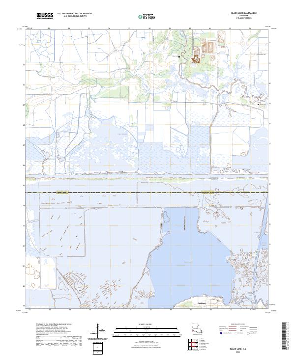
2024 Black Lake
Calcasieu Parish, LA
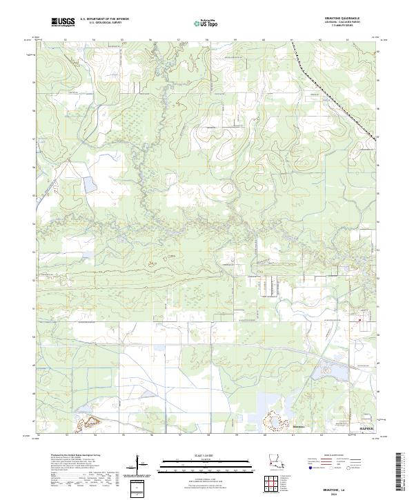
2024 Brimstone
Calcasieu Parish, LA
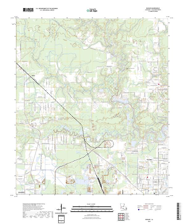
2024 Buhler
Calcasieu Parish, LA
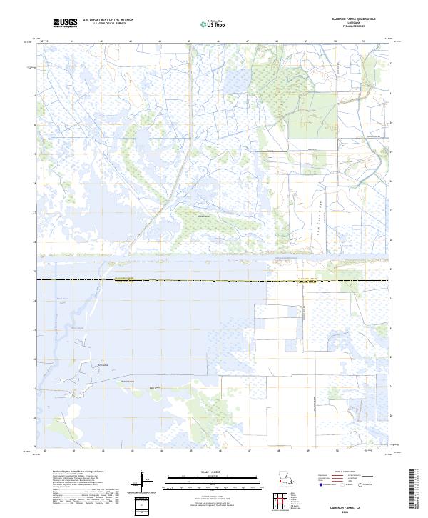
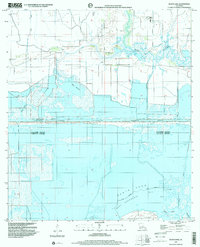
2024 Cameron Farms
Calcasieu Parish, LA
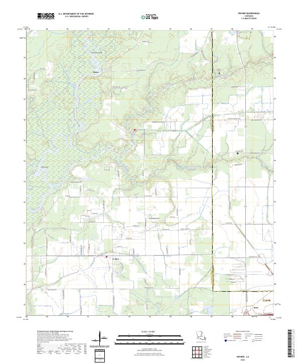
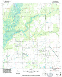
2024 Hecker
Calcasieu Parish, LA
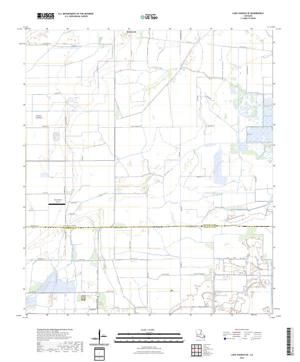
2024 Lake Charles SE
Calcasieu Parish, LA
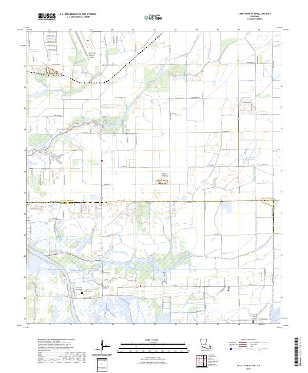
2024 Lake Charles SW
Calcasieu Parish, LA
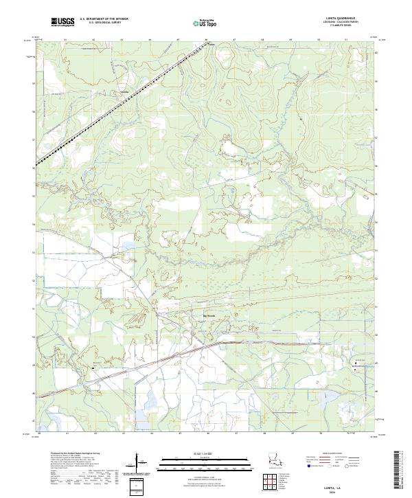
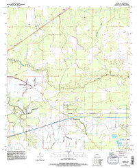
2024 Lunita
Calcasieu Parish, LA
2024 Moss Lake
Calcasieu Parish, LA