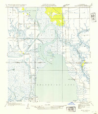
1932 Map of Moss Lake
USGS Topo · Published 1932About this map
Dutch Cove Cemetery and the small settlement at Moss Lake anchor the northern reaches of this coastal landscape, where the Calcasieu River winds toward the Gulf. Compiled from early aerial photography by the Air Corps, the map captures a transition period for the region's transport network. While the modern Intracoastal Waterway cuts a straight path through the marsh, older infrastructure like the Ellender Ferry and Old Canal remains visible, reflecting the traditional reliance on water for movement.
Find a feature on this map
29 named features on this map. Tap any name to fly to it.
Don’t see what you’re looking for? This feature index may not catch every label — zoom into the map to look around manually.
Map Details
Editions of this 1932 Moss Lake Map
This is the sole edition of this map. No revisions or reprints were ever made.
Other maps of this area
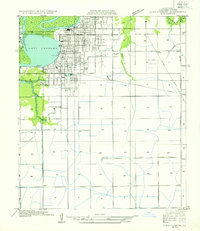
1932 · Lake Charles NW
USGS Topo · 1:31,680
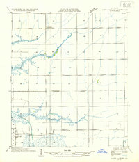
1932 · Lake Charles SW
USGS Topo · 1:31,680
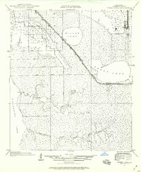
1934 · Sweet Lake
USGS Topo · 1:24,000
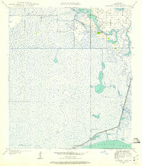
1934 · Browns Lake
USGS Topo · 1:24,000
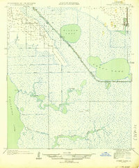
1935 · Sweet Lake
USGS Topo · 1:31,680
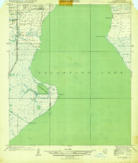
1935 · Hackberry
USGS Topo · 1:31,680
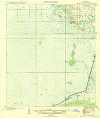
1935 · Browns Lake
USGS Topo · 1:31,680
1942 · Lake Charles
USGS Topo · 1:62,500
1946 · Moss Lake
USGS Topo · 1:31,680
1947 · Sulphur
USGS Topo · 1:31,680