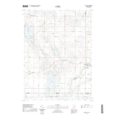
2019 Map of Mottville
USGS Topo · Published 2019About this map
Mottville sits at the junction of the Saint Joseph River and the Pigeon River, serving as a focal point for this borderland where Michigan and Indiana meet. The landscape is defined by a high density of glacial lakes, including the large Shavehead Lake and the interconnected Baldwins Lake and Long Lake. This 2019 survey documents a deeply rooted rural community, evidenced by more than ten established burial grounds such as the Mottville Township Cemetery and the White Pigeon Cemetery.
Find a feature on this map
119 named features on this map. Tap any name to fly to it.
Don’t see what you’re looking for? This feature index may not catch every label — zoom into the map to look around manually.
Map Details
Editions of this 2019 Mottville Map
This is the sole edition of this map. No revisions or reprints were ever made.
Other maps of this area

1914 · Three Rivers
USGS Topo · 1:62,500

1916 · Three Rivers
USGS Topo · 1:62,500

1943 · Three Rivers
USGS Topo · 1:62,500

1948 · Vandalia
USGS Topo · 1:62,500

1949 · Vandalia
USGS Topo · 1:62,500

1953 · Fort Wayne
USGS Topo · 1:250,000

1956 · Fort Wayne
USGS Topo · 1:250,000
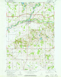
1961 · Bristol
USGS Topo · 1:24,000
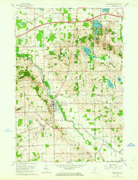
1961 · Middlebury
USGS Topo · 1:24,000
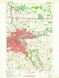
1961 · Elkhart
USGS Topo · 1:24,000