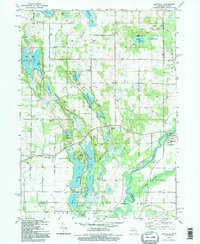
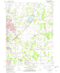
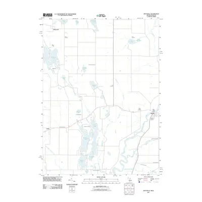
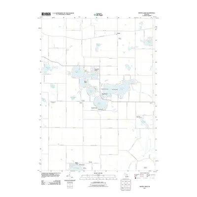
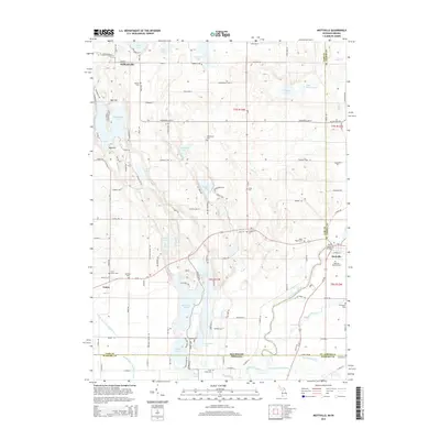
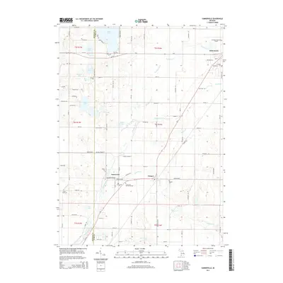
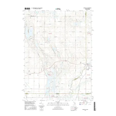
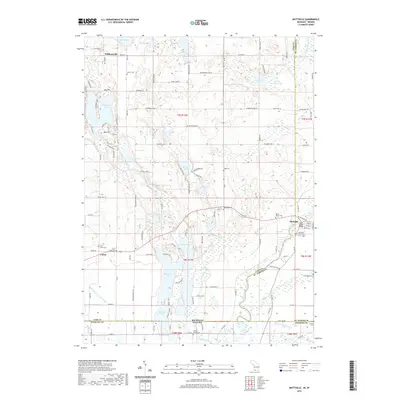
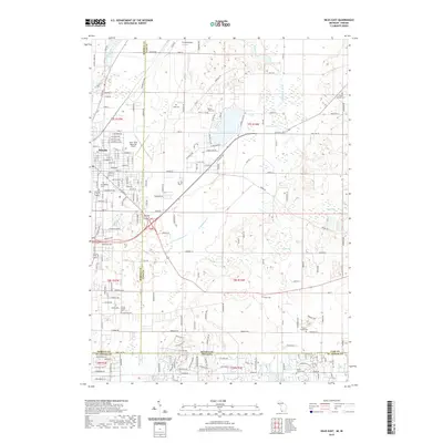
1992 Map of Mottville
USGS Topo · Published 1995About this map
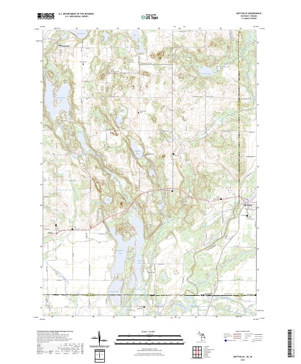
Mottville sits at the southern edge of this Michigan-Indiana borderland, where the St Joseph River and Pigeon River converge. The landscape is defined by an intricate network of glacial lakes and wetlands, from the large Shavehead Lake and Baldwins Lake to smaller pockets like Spattenlock Lake. This 1990s photoinspection reveals a deeply established rural character, where family-named landmarks and local institutions remain the primary waypoints.
Find a feature on this map
55 named features on this map. Tap any name to fly to it.
Don’t see what you’re looking for? This feature index may not catch every label — zoom into the map to look around manually.
Map Details
Editions of this 1992 Mottville Map
This is the sole edition of this map. No revisions or reprints were ever made.
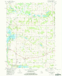
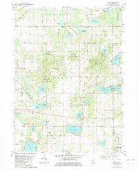
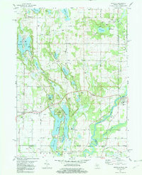
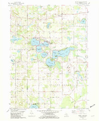
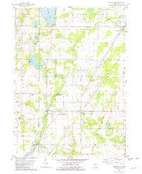
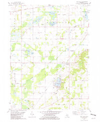
Historical Maps of Mottville Through Time
43 maps found
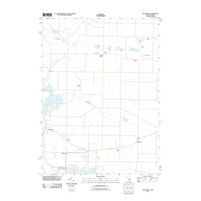
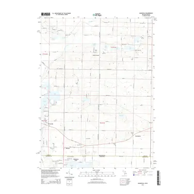
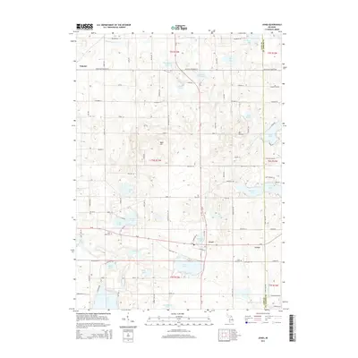
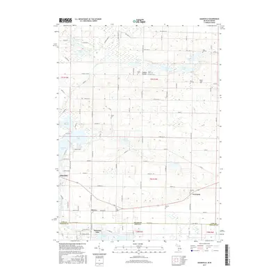
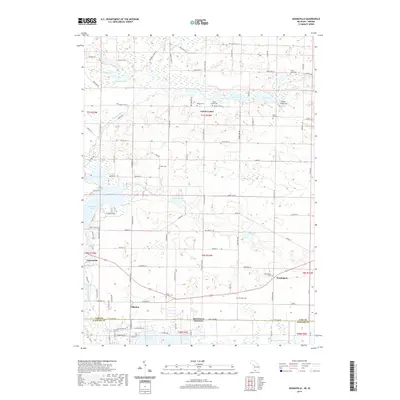
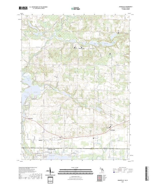
1981 Adamsville
Cass County, MI
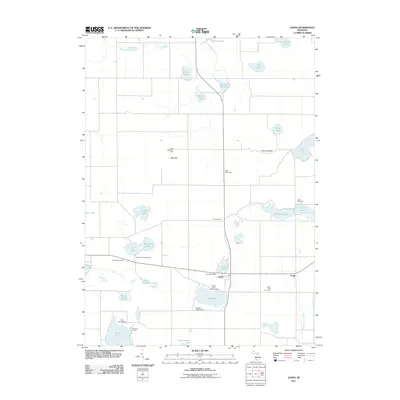
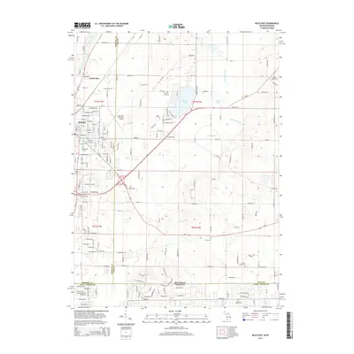
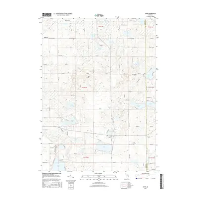
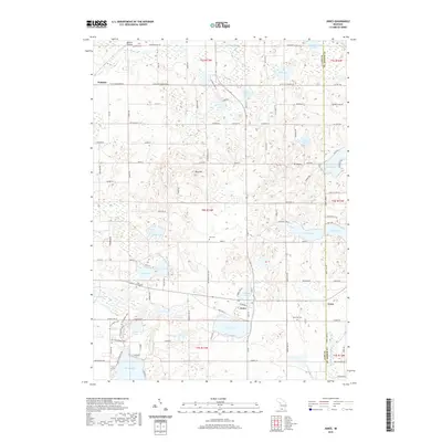
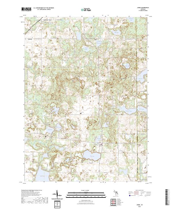
1981 Jones
Cass County, MI
1981 Mottville
Cass County, MI
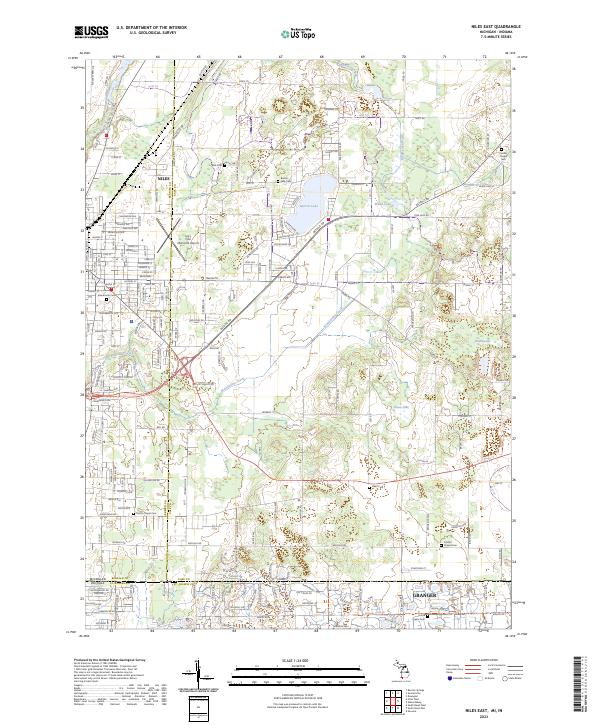
1981 Niles East
Cass County, MI
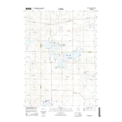
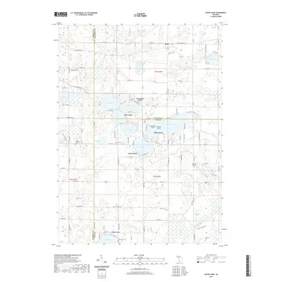
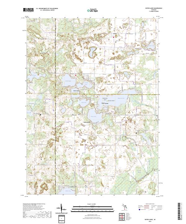
1981 Sister Lakes
Cass County, MI
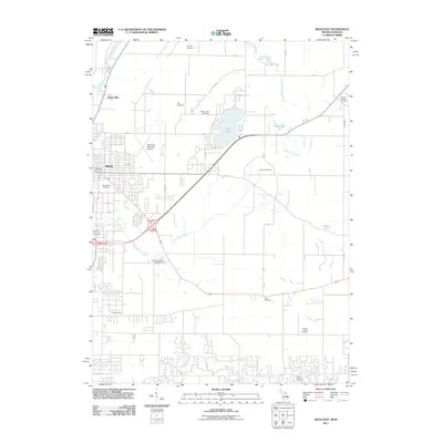
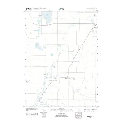
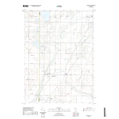
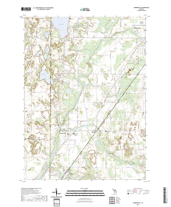
1981 Sumnerville
Cass County, MI
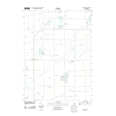
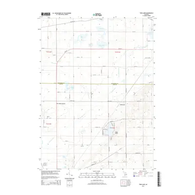
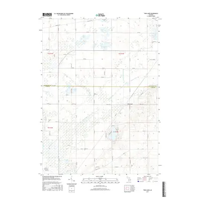
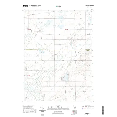
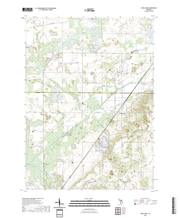
1981 Twin Lakes
Cass County, MI
1992 Mottville
Cass County, MI
2011 Adamsville
Cass County, MI
2011 Jones
Cass County, MI
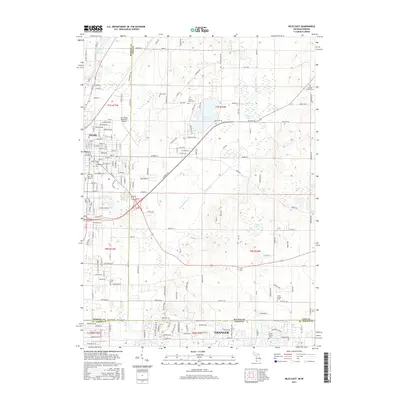
2011 Mottville
Cass County, MI
2011 Niles East
Cass County, MI
2011 Sister Lakes
Cass County, MI
2011 Sumnerville
Cass County, MI
2011 Twin Lakes
Cass County, MI
2014 Adamsville
Cass County, MI
2014 Jones
Cass County, MI
2014 Mottville
Cass County, MI
2014 Niles East
Cass County, MI
2014 Sister Lakes
Cass County, MI
2014 Sumnerville
Cass County, MI
2014 Twin Lakes
Cass County, MI
2017 Adamsville
Cass County, MI
2017 Jones
Cass County, MI
2017 Mottville
Cass County, MI
2017 Niles East
Cass County, MI
2017 Sister Lakes
Cass County, MI
2017 Sumnerville
Cass County, MI
2017 Twin Lakes
Cass County, MI
2019 Adamsville
Cass County, MI
2019 Jones
Cass County, MI
2019 Mottville
Cass County, MI
2019 Niles East
Cass County, MI
2019 Sister Lakes
Cass County, MI
2019 Sumnerville
Cass County, MI
2019 Twin Lakes
Cass County, MI
2023 Adamsville
Cass County, MI
2023 Jones
Cass County, MI
2023 Mottville
Cass County, MI
2023 Niles East
Cass County, MI
2023 Sister Lakes
Cass County, MI
2023 Sumnerville
Cass County, MI
2023 Twin Lakes
Cass County, MI
Featured Locations
- Constantine Township, MI
- Mottville Township, MI
- Mottville, Mottville Township
- Union, Porter Township
- Williamsville, Porter Township