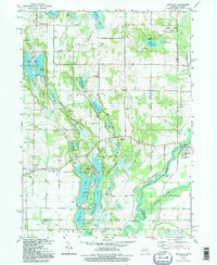
1992 Map of Mottville
USGS Topo · Published 1995About this map
Mottville sits at the southern edge of this Michigan-Indiana borderland, where the St Joseph River and Pigeon River converge. The landscape is defined by an intricate network of glacial lakes and wetlands, from the large Shavehead Lake and Baldwins Lake to smaller pockets like Spattenlock Lake. This 1990s photoinspection reveals a deeply established rural character, where family-named landmarks and local institutions remain the primary waypoints.
Find a feature on this map
55 named features on this map. Tap any name to fly to it.
Don’t see what you’re looking for? This feature index may not catch every label — zoom into the map to look around manually.
Map Details
Editions of this 1992 Mottville Map
This is the sole edition of this map. No revisions or reprints were ever made.
Other maps of this area

1914 · Three Rivers
USGS Topo · 1:62,500

1916 · Three Rivers
USGS Topo · 1:62,500

1943 · Three Rivers
USGS Topo · 1:62,500

1948 · Vandalia
USGS Topo · 1:62,500

1949 · Vandalia
USGS Topo · 1:62,500

1953 · Fort Wayne
USGS Topo · 1:250,000

1956 · Fort Wayne
USGS Topo · 1:250,000
1961 · Bristol
USGS Topo · 1:24,000
1961 · Middlebury
USGS Topo · 1:24,000
1961 · Elkhart
USGS Topo · 1:24,000