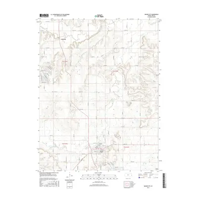
2015 Map of Mound City
USGS Topo · Published 2015About this map
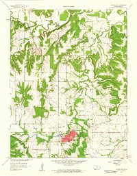
Mound City serves as the focal point of this Linn County landscape, where the confluence of several local waterways shaped the settlement patterns of eastern Kansas. The town is situated just south of where Little Sugar Cr meanders through the terrain, joined by tributaries such as Alexander Br. To the north, the village of Farlinville sits near the banks of Big Sugar Cr, highlighting the historical importance of these creek valleys for early residents.
Find a feature on this map
56 named features on this map. Tap any name to fly to it.
Don’t see what you’re looking for? This feature index may not catch every label — zoom into the map to look around manually.
Map Details
Editions of this 2015 Mound City Map
This is the sole edition of this map. No revisions or reprints were ever made.
Other maps of this area

1887 · Mound City
USGS Topo · 1:125,000

1893 · Mound City
USGS Topo · 1:125,000

1947 · Lawrence
USGS Topo · 1:250,000

1950 · Lawrence
USGS Topo · 1:250,000

1956 · Lawrence
USGS Topo · 1:250,000
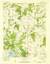
1957 · Boicourt
USGS Topo · 1:24,000

1958 · La Cygne
USGS Topo · 1:24,000
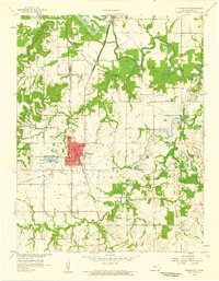
1958 · Pleasanton
USGS Topo · 1:24,000
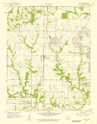
1958 · Prescott
USGS Topo · 1:24,000
1958 · Mound City
USGS Topo · 1:24,000