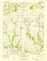
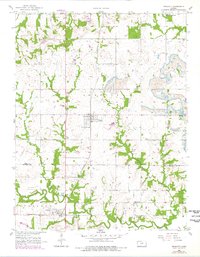
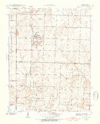
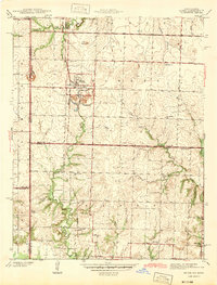
1958 Map of Prescott
USGS Topo · Published 1959About this map
Prescott stands as the central hub of this eastern Kansas landscape, situated along the prominent north-south corridor of the St Louis San Francisco railroad. The 1950s terrain reveals a mix of agricultural tradition and industrial activity, with several large Strip Mine operations and a Quarry dotting the hillsides near Indian Creek. To the south, the Little Osage River winds across the Osage and Freedom townships, passing the settlement of Fulton and the rural crossroads of Barnesville.
Find a feature on this map
28 named features on this map. Tap any name to fly to it.
Don’t see what you’re looking for? This feature index may not catch every label — zoom into the map to look around manually.
Map Details
Editions of this 1958 Prescott Map
2 editions found
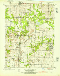
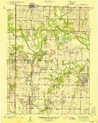
Other maps of this area

1884 · Fort Scott
USGS Topo · 1:125,000

1886 · Fort Scott
USGS Topo · 1:125,000

1887 · Mound City
USGS Topo · 1:125,000

1893 · Fort Scott
USGS Topo · 1:125,000

1893 · Mound City
USGS Topo · 1:125,000
1938 · Worland
USGS Topo · 1:24,000
1940 · Worland
USGS Topo · 1:24,000
1940 · Hume
USGS Topo · 1:24,000
1942 · Hume
USGS Topo · 1:24,000
1942 · Richards
USGS Topo · 1:24,000