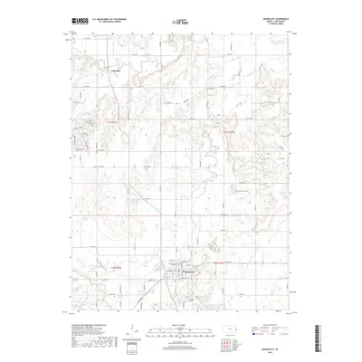
2018 Map of Mound City
USGS Topo · Published 2018About this map
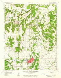
Mound City serves as the focal point of this Linn County landscape, characterized by the winding path of Little Sugar Cr and its many tributaries. The area is notable for its numerous burial grounds, including the Mound City Cem Soldiers Lot, which points to the region's significant Civil War-era heritage. To the north, the small settlement of Farlinville sits near the banks of Big Sugar Cr, while the western edge of the map features residential developments around Lake De Lago and Timber Lake. The grid of section roads, such as Wesley Chapel Rd and Green Valley Rd, connects isolated cemeteries like Linnville Cem and Mount Carmel Cem, reflecting a long-standing rural community structure. The terrain is marked by distinct valleys carved by waterways like Hazel Br and Turkey Cr, which have shaped the local road and settlement patterns for generations.
Find a feature on this map
86 named features on this map. Tap any name to fly to it.
Don’t see what you’re looking for? This feature index may not catch every label — zoom into the map to look around manually.
Map Details
Editions of this 2018 Mound City Map
This is the sole edition of this map. No revisions or reprints were ever made.
Other maps of this area

1887 · Mound City
USGS Topo · 1:125,000

1893 · Mound City
USGS Topo · 1:125,000

1947 · Lawrence
USGS Topo · 1:250,000

1950 · Lawrence
USGS Topo · 1:250,000

1956 · Lawrence
USGS Topo · 1:250,000
1957 · Boicourt
USGS Topo · 1:24,000

1958 · La Cygne
USGS Topo · 1:24,000
1958 · Pleasanton
USGS Topo · 1:24,000
1958 · Prescott
USGS Topo · 1:24,000
1958 · Mound City
USGS Topo · 1:24,000