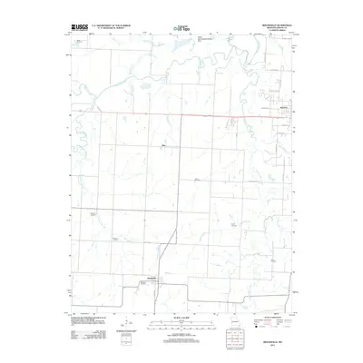
2011 Map of Moundville
USGS Topo · Published 2011About this map
Moundville serves as a central point of reference in this southwestern Missouri landscape, where the prairie begins to transition toward the Ozark foothills. The map reveals a high density of family and community burial grounds, including Beckman Cemetery, Welborn Cemetery, and Jewel Cemetery, which are vital markers for genealogical research in this part of Vernon County. The Marmaton River and its various tributaries, such as Little Dry Wood Creek and Hackberry Branch, create a complex drainage pattern that has historically influenced agricultural boundaries and road placements like Old 54 Hwy.
Find a feature on this map
36 named features on this map. Tap any name to fly to it.
Don’t see what you’re looking for? This feature index may not catch every label — zoom into the map to look around manually.
Map Details
Editions of this 2011 Moundville Map
This is the sole edition of this map. No revisions or reprints were ever made.
Other maps of this area

1884 · Fort Scott
USGS Topo · 1:125,000

1886 · Nevada
USGS Topo · 1:125,000

1886 · Fort Scott
USGS Topo · 1:125,000

1893 · Fort Scott
USGS Topo · 1:125,000

1894 · Nevada
USGS Topo · 1:125,000

1933 · Camp Clark
USGS Topo · 1:24,000

1938 · Metz
USGS Topo · 1:24,000

1938 · Horton
USGS Topo · 1:24,000

1939 · Metz
USGS Topo · 1:24,000

1939 · Horton
USGS Topo · 1:24,000