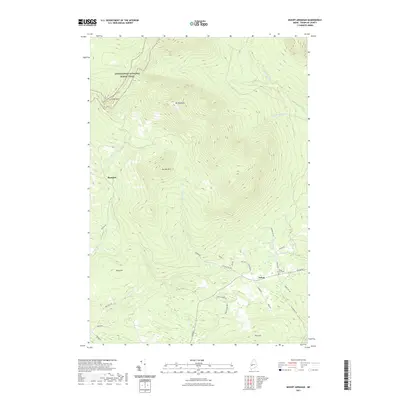
2021 Map of Mount Abraham
USGS Topo · Published 2021About this map
Mt Abraham dominates the northern skyline of this Franklin County landscape, its high ridges traversed by the Appalachian National Scenic Trail. To the south, the settlement of Salem sits along the W Br Carrabassett River, serving as a focal point for local roads such as Salem Rd and Howard Rd. The terrain is defined by a series of significant peaks and waterways, including Farmer Mtn, Lone Mtn, and the winding Rapid Stream.
Find a feature on this map
35 named features on this map. Tap any name to fly to it.
Don’t see what you’re looking for? This feature index may not catch every label — zoom into the map to look around manually.
Map Details
Editions of this 2021 Mount Abraham Map
This is the sole edition of this map. No revisions or reprints were ever made.
Other maps of this area

1928 · Dead River
USGS Topo · 1:62,500

1928 · Stratton
USGS Topo · 1:48,000

1929 · Phillips
USGS Topo · 1:48,000

1930 · Kingfield
USGS Topo · 1:48,000

1931 · Dead River
USGS Topo · 1:48,000

1932 · Phillips
USGS Topo · 1:62,500

1932 · Stratton
USGS Topo · 1:62,500

1932 · Kingfield
USGS Topo · 1:62,500

1944 · Dead River
USGS Topo · 1:62,500

1949 · Jackman
USGS Topo · 1:250,000