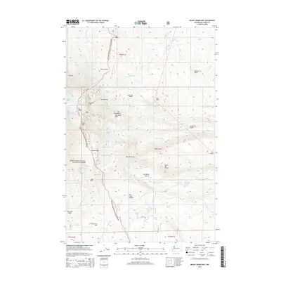
2014 Map of Mount Adams East
USGS Topo · Published 2014About this map
Mt Adams dominates the western half of this survey, with its high eastern slopes defined by a complex network of glacial ice and high-altitude ridges. Notable ice bodies including the Lava Glacier, Lyman Glacier, and Wilson Glacier feed the headwaters of the Muddy Fork and Little Muddy Cr. These glacial features are separated by prominent rock formations such as Roosevelt Cliff and Victory Ridge. To the south, the terrain descends through Suksdorf Ridge into the distinctive volcanic geology of the A G Aiken Lava Bed. This landscape within the Gifford Pinchot National Forest transitions from frozen peaks to high mountain meadows, most notably Hellroaring Meadow and Bird Creek Meadows, which provide a sharp contrast to the surrounding ridges and debris fields.
Find a feature on this map
63 named features on this map. Tap any name to fly to it.
Don’t see what you’re looking for? This feature index may not catch every label — zoom into the map to look around manually.
Map Details
Editions of this 2014 Mount Adams East Map
This is the sole edition of this map. No revisions or reprints were ever made.
Other maps of this area

1904 · Mount Adams
USGS Topo · 1:125,000

1907 · Mount Adams
USGS Topo · 1:125,000

1926 · Steamboat Mtn
USGS Topo · 1:125,000

1931 · Steamboat Mtn
USGS Topo · 1:125,000

1950 · Yakima
USGS Topo · 1:250,000

1958 · Yakima
USGS Topo · 1:250,000

1961 · Yakima
USGS Topo · 1:250,000
1970 · Glenwood
USGS Topo · 1:24,000
1970 · Trout Lake
USGS Topo · 1:24,000
1970 · Mount Adams West
USGS Topo · 1:24,000