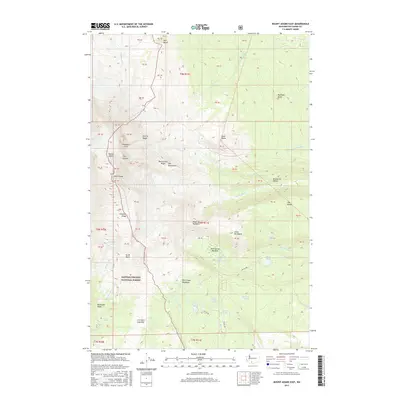
2017 Map of Mount Adams East
USGS Topo · Published 2017About this map
Mount Adams and its glaciated eastern slopes dominate this high-elevation terrain within the Gifford Pinchot National Forest. This survey captures a dramatic landscape defined by volcanic activity and glacial runoff, featuring the prominent A G Aiken Lava Bed to the south and the sharp profile of Suksdorf Ridge descending from Pikers Peak. The drainage patterns are intricate, with the Muddy Fork, Big Muddy Cr, and Hellroaring Cr carving deep channels through the alpine terrain.
Find a feature on this map
70 named features on this map. Tap any name to fly to it.
Don’t see what you’re looking for? This feature index may not catch every label — zoom into the map to look around manually.
Map Details
Editions of this 2017 Mount Adams East Map
This is the sole edition of this map. No revisions or reprints were ever made.
Other maps of this area

1904 · Mount Adams
USGS Topo · 1:125,000

1907 · Mount Adams
USGS Topo · 1:125,000

1926 · Steamboat Mtn
USGS Topo · 1:125,000

1931 · Steamboat Mtn
USGS Topo · 1:125,000

1950 · Yakima
USGS Topo · 1:250,000

1958 · Yakima
USGS Topo · 1:250,000

1961 · Yakima
USGS Topo · 1:250,000
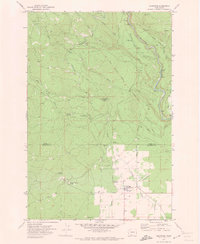
1970 · Glenwood
USGS Topo · 1:24,000
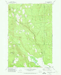
1970 · Trout Lake
USGS Topo · 1:24,000
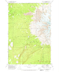
1970 · Mount Adams West
USGS Topo · 1:24,000