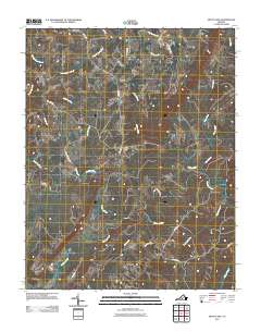
2011 Map of Mount Airy
USGS Topo · Published 2011About this map
Mount Airy serves as a central point in this rural Virginia landscape, where the confluence of the Banister River and Stinking River shapes the southern geography. The terrain is defined by a dense network of waterways, including Straightstone Creek and Flyblow Creek, which have historically influenced the placement of early settlements and agricultural boundaries. Small communities like Riceville and Renan are connected by a web of named local routes such as Renan Rd and Corner Rd. The naming of features like Maggotty Creek and Deer Track Farm RD reflects the local vernacular and the long-standing farming traditions of Pittsylvania County. This survey provides a clear view of the rural road network and water drainage patterns that have persisted through generations of land use in this part of the Piedmont.
Find a feature on this map
31 named features on this map. Tap any name to fly to it.
Don’t see what you’re looking for? This feature index may not catch every label — zoom into the map to look around manually.
Map Details
Editions of this 2011 Mount Airy Map
This is the sole edition of this map. No revisions or reprints were ever made.
Other maps of this area

1892 · Lynchburg
USGS Topo · 1:125,000

1921 · Chatham
USGS Topo · 1:48,000

1923 · Chatham
USGS Topo · 1:62,500

1947 · Roanoke
USGS Topo · 1:250,000

1951 · Altavista
USGS Topo · 1:62,500

1953 · Greensboro
USGS Topo · 1:250,000

1954 · Greensboro
USGS Topo · 1:250,000

1954 · Riceville
USGS Topo · 1:62,500

1956 · Gladys
USGS Topo · 1:62,500

1959 · Roanoke
USGS Topo · 1:250,000